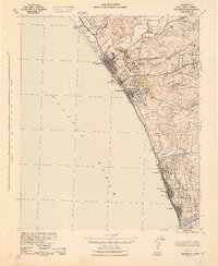
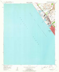
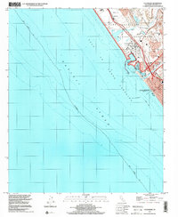
1942 Map of Oceanside
USGS Topo · Published 1942About this map
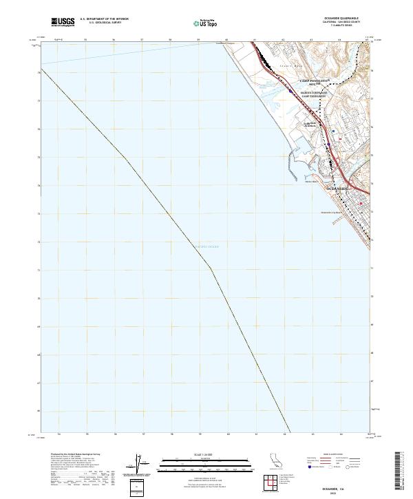
The San Luis Rey Mission stands as a focal point in the northern San Diego coastal corridor, surrounded by a landscape of tidal lagoons and rising hills as they appeared during the Second World War. This coastal region is defined by a series of distinct water bodies including Buena Vista Lagoon, Agua Hedionda Lagoon, and Batiquitos Lagoon, which serve as natural breaks between the growing seaside communities. The influence of the Atchison Topeka and Santa Fe railroad is evident, tracing the shoreline and providing the primary transit artery connecting Oceanside, Carlsbad, and Leucadia. Inland, the terrain rises toward peaks like Loma Alta Mountain and Cerro de la Calavera, where small settlements like El Salto and educational sites such as Libby Sch indicate the rural development patterns of the early 1940s.
Find a feature on this map
56 named features on this map. Tap any name to fly to it.
Don’t see what you’re looking for? This feature index may not catch every label — zoom into the map to look around manually.
Map Details
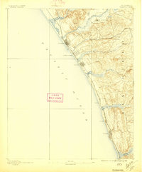
Editions of this 1942 Oceanside Map
This is the sole edition of this map. No revisions or reprints were ever made.
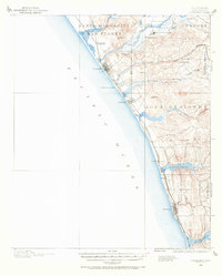
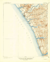
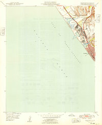
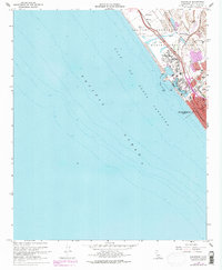
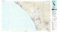
Historical Maps of Oceanside Through Time
13 maps found
1893 Oceanside
San Diego County, CA
1898 Oceanside
San Diego County, CA
1901 Oceanside
San Diego County, CA
1942 Oceanside
San Diego County, CA
1947 Oceanside
San Diego County, CA
1949 Oceanside
San Diego County, CA
1968 Oceanside
San Diego County, CA
1982 Oceanside
San Diego County, CA
1997 Oceanside
San Diego County, CA
2012 Oceanside
San Diego County, CA
2015 Oceanside
San Diego County, CA
2018 Oceanside
San Diego County, CA
2022 Oceanside
San Diego County, CA