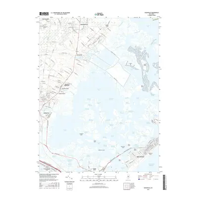
2016 Map of Oceanville
USGS Topo · Published 2016About this map
Smithville and Leeds Point anchor the mainland portion of this coastal New Jersey landscape, where residential development transitions into a labyrinth of salt marshes and tidal channels. The area is defined by its complex hydrography, featuring the Intracoastal Waterway as it winds through Reeds Bay and Grassy Bay. Settlements like Absecon Highlands, Conovertown, and Oceanville are situated along the New York Rd corridor, while the barrier island features the established community of Brigantine and the southern stretches of Brigantine Beach.
Find a feature on this map
190 named features on this map. Tap any name to fly to it.
Don’t see what you’re looking for? This feature index may not catch every label — zoom into the map to look around manually.
Map Details
Editions of this 2016 Oceanville Map
This is the sole edition of this map. No revisions or reprints were ever made.
Other maps of this area

1887 · Atlantic City
USGS Topo · 1:62,500

1888 · Little Egg Harbor
USGS Topo · 1:62,500

1890 · Great Egg Harbor
USGS Topo · 1:62,500

1890 · Mullica
USGS Topo · 1:62,500

1893 · Great Egg Harbor
USGS Topo · 1:62,500

1893 · Little Egg Harbor
USGS Topo · 1:62,500

1894 · Atlantic City
USGS Topo · 1:62,500

1894 · Mullica
USGS Topo · 1:62,500

1898 · Mullica
USGS Topo · 1:62,500

1900 · Rancocas
USGS Topo · 1:125,000
Featured Places
- Egg Harbor Township, NJ
- Atlantic City, NJ
- Galloway Township, NJ
- Little Egg Harbor Township, NJ
- Pleasantville, NJ