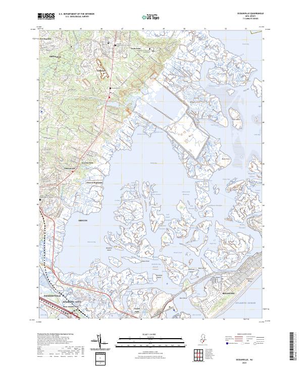
2023 Map of Oceanville
USGS Topo · Published 2023About this map
Smithville and Leeds Point anchor the northern landscape of this coastal New Jersey survey, where the terrestrial world gives way to an intricate labyrinth of tidal marshes. These older settlements are marked by significant local history sites, including the Smithville Burial Ground and the Leeds Point Community Church Cem. The land is fragmented by a complex network of waterways such as Main Marsh Thorofare and Doughty Creek, which define the geography between the mainland and the barrier island communities of Brigantine and Brigantine Beach.
Find a feature on this map
200 named features on this map. Tap any name to fly to it.
Don’t see what you’re looking for? This feature index may not catch every label — zoom into the map to look around manually.
Map Details
Editions of this 2023 Oceanville Map
This is the sole edition of this map. No revisions or reprints were ever made.
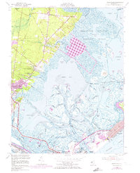
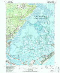
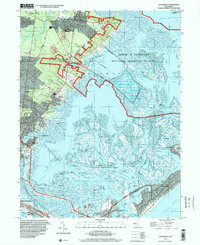
Historical Maps of Absecon Highlands Through Time
4 maps found
Featured Locations
- Galloway Township, NJ
- Atlantic City, NJ
- Pleasantville, NJ
- Egg Harbor Township, NJ
- Little Egg Harbor Township, NJ