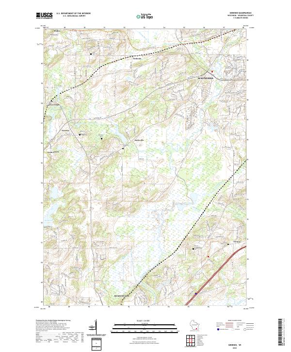
2022 Map of Oconomowoc East
USGS Topo · Published 2022About this map
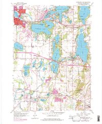
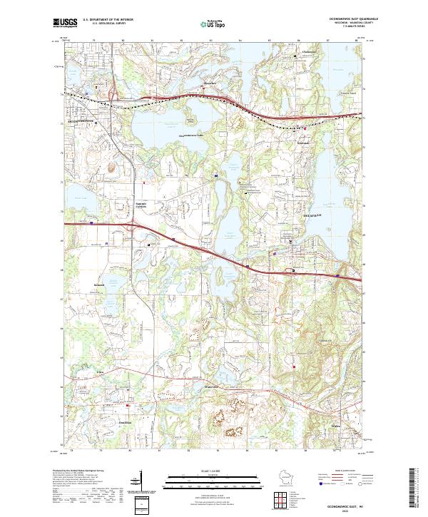
Oconomowoc Lake and Nagawicka Lake anchor a landscape defined by glacial activity and a dense network of waterways. This portion of Waukesha County shows a high concentration of established educational and religious institutions, most notably the Nashotah House Theological Seminary School situated between Upper Nashotah Lake and Upper Nemahbin Lake. The distribution of burial grounds, including La Belle Cem and Saint John Chrysostom Episcopalian Cem, reflects the long-standing community centers of Oconomowoc, Delafield, and Chenequa.
Find a feature on this map
57 named features on this map. Tap any name to fly to it.
Don’t see what you’re looking for? This feature index may not catch every label — zoom into the map to look around manually.
Map Details
Editions of this 2022 Oconomowoc East Map
This is the sole edition of this map. No revisions or reprints were ever made.
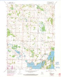
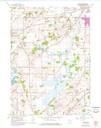
Historical Maps of Nashotah Through Time
6 maps found