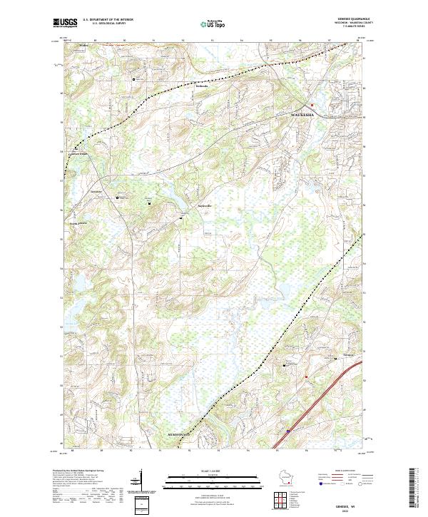
2022 Map of Genesee
USGS Topo · Published 2022About this map
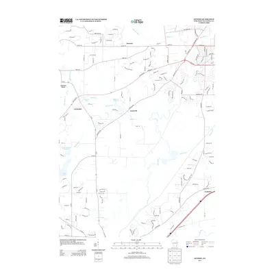
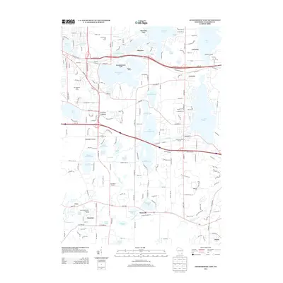
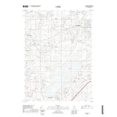
Bethesda and Saylesville anchor a landscape defined by the winding course of the Fox River and its numerous tributaries, including Genesee Cr and Pebble Cr. This area of Waukesha County demonstrates a high density of early burial sites, from Saint Pauls Cem in the north to Vernon Center Cem in the southeast. The geography is marked by the presence of the Glacial Drumlin State Trl, which follows the terminal moraine topography characteristic of this part of Wisconsin.
Find a feature on this map
185 named features on this map. Tap any name to fly to it.
Don’t see what you’re looking for? This feature index may not catch every label — zoom into the map to look around manually.
Map Details
Editions of this 2022 Genesee Map
This is the sole edition of this map. No revisions or reprints were ever made.
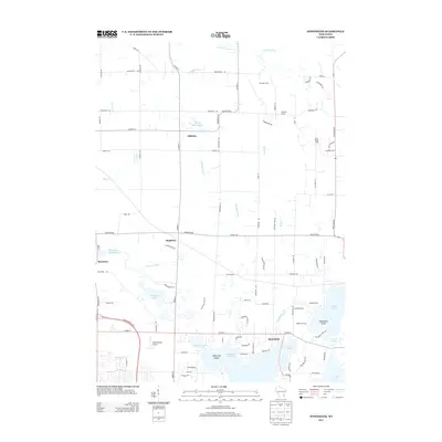
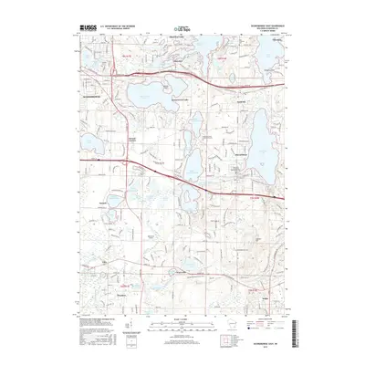
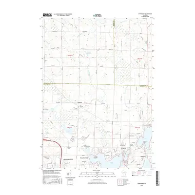
Historical Maps of Waukesha Through Time
18 maps found
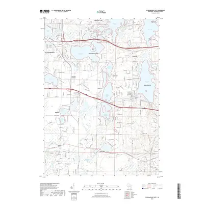
1959 Oconomowoc East
Waukesha County, WI
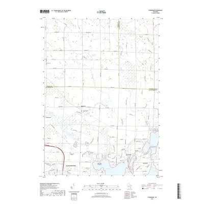
1959 Stonebank
Waukesha County, WI
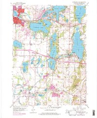
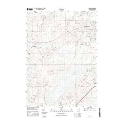
1960 Genesee
Waukesha County, WI
2010 Genesee
Waukesha County, WI
2010 Oconomowoc East
Waukesha County, WI
2010 Stonebank
Waukesha County, WI
2013 Genesee
Waukesha County, WI
2013 Oconomowoc East
Waukesha County, WI
2013 Stonebank
Waukesha County, WI
2015 Oconomowoc East
Waukesha County, WI
2015 Stonebank
Waukesha County, WI
2016 Genesee
Waukesha County, WI
2018 Genesee
Waukesha County, WI
2018 Oconomowoc East
Waukesha County, WI
2018 Stonebank
Waukesha County, WI
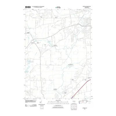
2022 Genesee
Waukesha County, WI
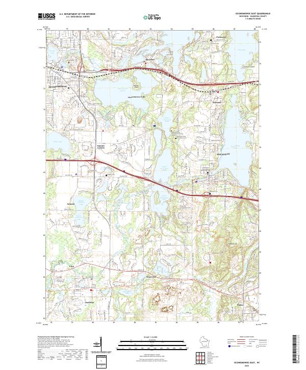
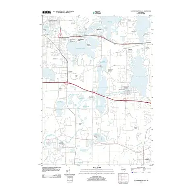
2022 Oconomowoc East
Waukesha County, WI
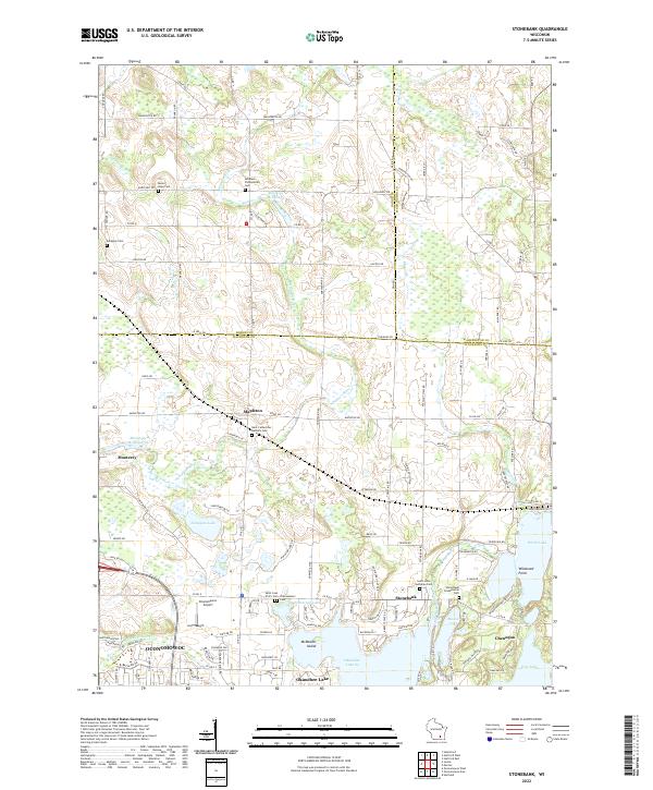
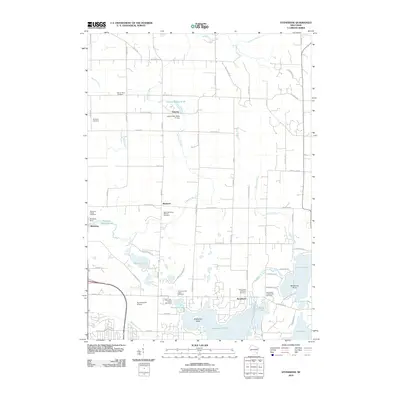
2022 Stonebank
Waukesha County, WI