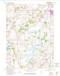
1960 Map of Genesee
USGS Topo · Published 1977About this map
The Fox River and its numerous tributaries, including Pebble Cr and Brandy Brook, define the drainage and settlement patterns of this part of Waukesha County. The landscape is marked by the presence of several established hamlets, such as Genesee Depot and Saylesville, the latter situated beside the Saylesville Millpond. A robust network of railroads, including the Chicago and North Western and the Soo Line, facilitated the movement of goods and people between these rural communities. Local life is reflected in the distribution of several rural schoolhouses like Oakdale Sch and Lawrence Sch, along with community landmarks such as St Pauls Cem and the Vernon Ch. In the southern portion of the map, the terrain becomes more wetland-heavy as the Fox River meanders toward the border between Mukwonago and Vernon.
Find a feature on this map
36 named features on this map. Tap any name to fly to it.
Don’t see what you’re looking for? This feature index may not catch every label — zoom into the map to look around manually.
Map Details
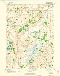
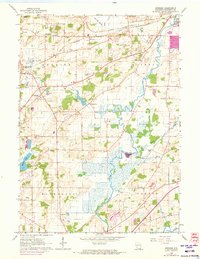
Editions of this 1960 Genesee Map
3 editions found
Other maps of this area

1891 · Muskego
USGS Topo · 1:62,500

1892 · Waukesha
USGS Topo · 1:62,500

1892 · Oconomowoc
USGS Topo · 1:62,500

1892 · Eagle
USGS Topo · 1:62,500

1894 · Eagle
USGS Topo · 1:62,500

1897 · Eagle
USGS Topo · 1:62,500

1901 · Waukesha
USGS Topo · 1:62,500

1901 · Muskego
USGS Topo · 1:62,500

1906 · Eagle
USGS Topo · 1:62,500

1906 · Waukesha
USGS Topo · 1:62,500