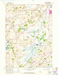
1960 Map of Genesee
USGS Topo · Published 1972About this map
The Fox River meanders through the heart of Waukesha County in this topographic survey, defining a landscape of glacial lowlands and early agricultural settlements. The rural character is anchored by small crossroads such as Wales, Saylesville, and Vernon, with the Saylesville Millpond and Hayslope Lake serving as prominent water features. Transportation and industry are clearly etched into the terrain, from the Chicago and North Western and Milwaukee St Paul and Pacific railroads to the numerous Gravel Pits and Quarries dotting the township lines. Regional social life is visible through landmarks like the Country Club, Lawrence Sch, and Vernon Ch. A unique revision layer in purple identifies the expanding urban footprint and road improvements near Genesee Depot and the outskirts of Waukesha, marking the transition from a traditional farming economy to suburban growth during the mid-century period.
Find a feature on this map
32 named features on this map. Tap any name to fly to it.
Don’t see what you’re looking for? This feature index may not catch every label — zoom into the map to look around manually.
Map Details
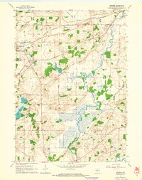
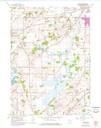
Editions of this 1960 Genesee Map
3 editions found
Other maps of this area

1891 · Muskego
USGS Topo · 1:62,500

1892 · Waukesha
USGS Topo · 1:62,500

1892 · Oconomowoc
USGS Topo · 1:62,500

1892 · Eagle
USGS Topo · 1:62,500

1894 · Eagle
USGS Topo · 1:62,500

1897 · Eagle
USGS Topo · 1:62,500

1901 · Waukesha
USGS Topo · 1:62,500

1901 · Muskego
USGS Topo · 1:62,500

1906 · Eagle
USGS Topo · 1:62,500

1906 · Waukesha
USGS Topo · 1:62,500