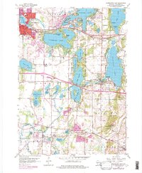
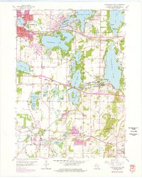
1959 Map of Oconomowoc East
USGS Topo · Published 1977About this map
Glacial lake basins define this Waukesha County landscape, where the Oconomowoc River and Bark River connect a series of significant water bodies including Oconomowoc Lake and Nagawicka Lake. The settlement pattern follows these shores, with Oconomowoc and Delafield serving as established community centers. Historic institutions are prominent across the terrain, notably the St Johns Military Academy and the Wisconsin School for Boys near Lapham Hill.
Find a feature on this map
82 named features on this map. Tap any name to fly to it.
Don’t see what you’re looking for? This feature index may not catch every label — zoom into the map to look around manually.
Map Details
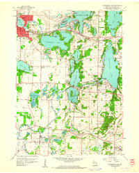
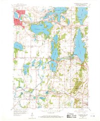
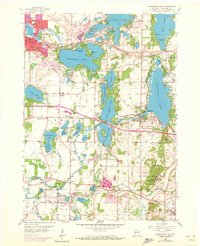
Editions of this 1959 Oconomowoc East Map
5 editions found
Other maps of this area

1892 · Watertown
USGS Topo · 1:62,500

1892 · Oconomowoc
USGS Topo · 1:62,500

1892 · Whitewater
USGS Topo · 1:62,500

1892 · Eagle
USGS Topo · 1:62,500

1893 · Whitewater
USGS Topo · 1:62,500

1894 · Watertown
USGS Topo · 1:62,500

1894 · Eagle
USGS Topo · 1:62,500

1897 · Eagle
USGS Topo · 1:62,500

1903 · Whitewater
USGS Topo · 1:62,500

1906 · Eagle
USGS Topo · 1:62,500