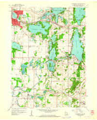
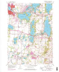
1959 Map of Oconomowoc East
USGS Topo · Published 1961About this map
Glacial geology defines the character of this Waukesha County landscape, where a dense cluster of kettle lakes supports a string of established resort and residential communities. Oconomowoc and Delafield serve as the primary anchors, connected by the Bark River and the Chicago Milwaukee St Paul and Pacific rail line. The map highlights the area's mid-century educational and institutional prominence, featuring the sprawling grounds of the St Johns Military Academy and the Wisconsin School for Boys near the southern boundary.
Find a feature on this map
73 named features on this map. Tap any name to fly to it.
Don’t see what you’re looking for? This feature index may not catch every label — zoom into the map to look around manually.
Map Details
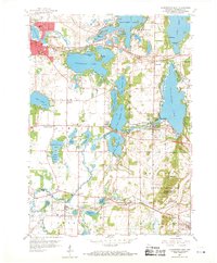
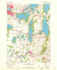
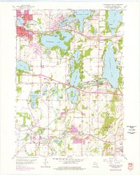
Editions of this 1959 Oconomowoc East Map
5 editions found
Other maps of this area

1892 · Watertown
USGS Topo · 1:62,500

1892 · Oconomowoc
USGS Topo · 1:62,500

1892 · Whitewater
USGS Topo · 1:62,500

1892 · Eagle
USGS Topo · 1:62,500

1893 · Whitewater
USGS Topo · 1:62,500

1894 · Watertown
USGS Topo · 1:62,500

1894 · Eagle
USGS Topo · 1:62,500

1897 · Eagle
USGS Topo · 1:62,500

1903 · Whitewater
USGS Topo · 1:62,500

1906 · Eagle
USGS Topo · 1:62,500