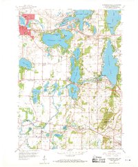
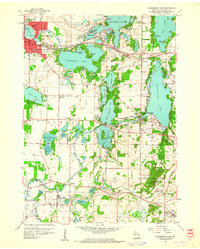
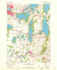
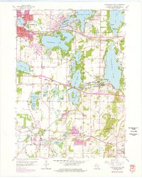
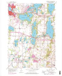
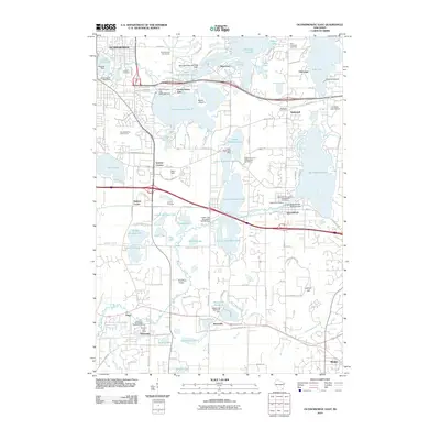
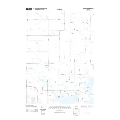
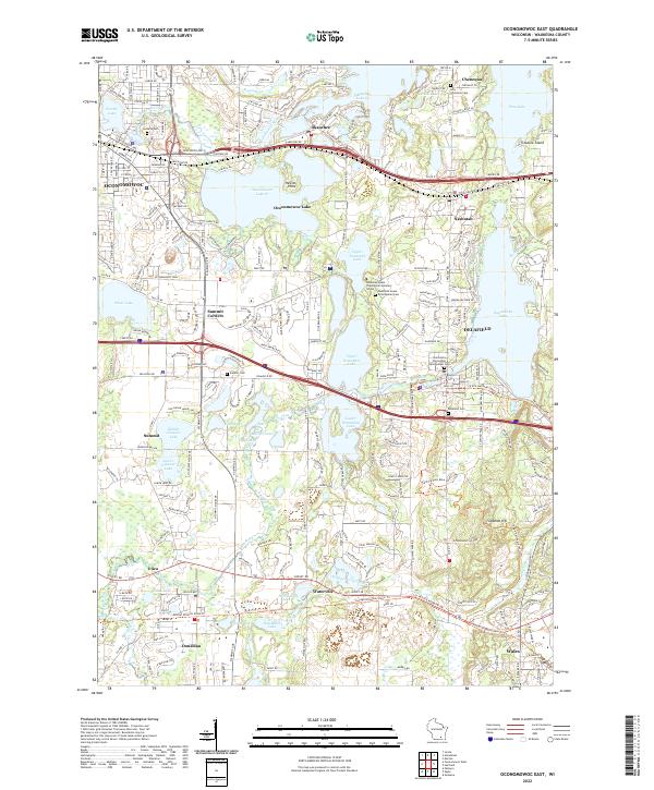
1959 Map of Oconomowoc East
USGS Topo · Published 1969About this map
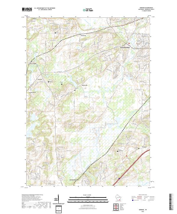
Glacial geology and lakeside development characterize this portion of Waukesha County, where the Kettle Moraine landscape is punctuated by a dense network of terminal moraine lakes and drainage basins. The Oconomowoc River and Bark River wind through the terrain, connecting major water bodies like Okauchee Lake, Oconomowoc Lake, and Nagawicka Lake. The 1950s cultural landscape is well-defined by institutional landmarks, including the St Johns Military Academy and the Wisconsin School for Boys, alongside recreational sites like Cushing Memorial State Park.
Find a feature on this map
77 named features on this map. Tap any name to fly to it.
Don’t see what you’re looking for? This feature index may not catch every label — zoom into the map to look around manually.
Map Details
Editions of this 1959 Oconomowoc East Map
5 editions found
Historical Maps of Oconomowoc Through Time
18 maps found
1959 Oconomowoc East
Waukesha County, WI
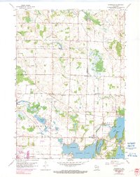
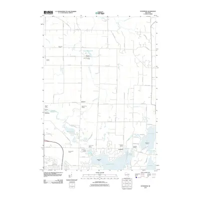
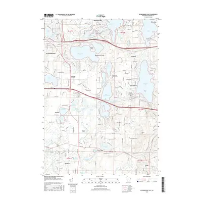
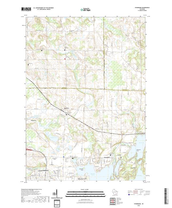
1959 Stonebank
Waukesha County, WI
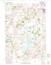
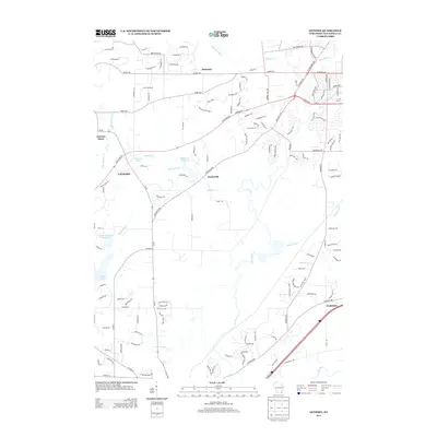
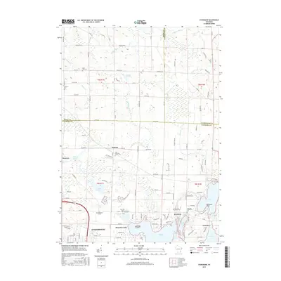
1960 Genesee
Waukesha County, WI
2010 Genesee
Waukesha County, WI
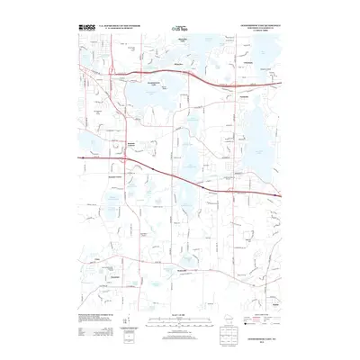
2010 Oconomowoc East
Waukesha County, WI
2010 Stonebank
Waukesha County, WI
2013 Genesee
Waukesha County, WI
2013 Oconomowoc East
Waukesha County, WI
2013 Stonebank
Waukesha County, WI
2015 Oconomowoc East
Waukesha County, WI
2015 Stonebank
Waukesha County, WI
2016 Genesee
Waukesha County, WI
2018 Genesee
Waukesha County, WI
2018 Oconomowoc East
Waukesha County, WI
2018 Stonebank
Waukesha County, WI
2022 Genesee
Waukesha County, WI
2022 Oconomowoc East
Waukesha County, WI
2022 Stonebank
Waukesha County, WI