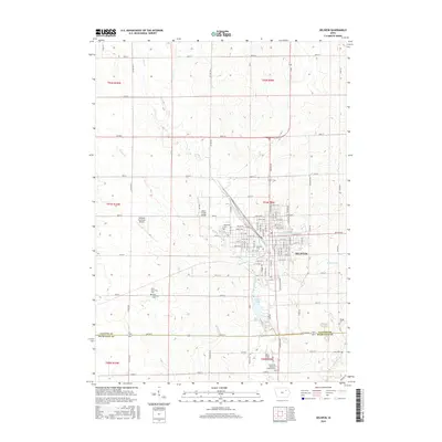
2015 Map of Oelwein
USGS Topo · Published 2015About this map
Oelwein serves as the central hub of this northeastern Iowa landscape, situated at the boundary of Fayette and Buchanan counties. The city's residential and industrial grid is well-defined, stretching from N Frederick Ave out to peripheral landmarks like the Oelwein Municipal Airport. This 2015 survey illustrates a region where water management and community heritage are closely intertwined, visible in the proximity of Oelwein Lake and Otter Creek to the urban center.
Find a feature on this map
73 named features on this map. Tap any name to fly to it.
Don’t see what you’re looking for? This feature index may not catch every label — zoom into the map to look around manually.
Map Details
Editions of this 2015 Oelwein Map
This is the sole edition of this map. No revisions or reprints were ever made.
Other maps of this area

1901 · Oelwein
USGS Topo · 1:125,000

1954 · Waterloo
USGS Topo · 1:250,000

1955 · Waterloo
USGS Topo · 1:250,000

1959 · Dubuque
USGS Topo · 1:250,000

1961 · Dubuque
USGS Topo · 1:250,000

1962 · Dubuque
USGS Topo · 1:250,000

1971 · Sumner
USGS Topo · 1:24,000

1971 · Fairbank
USGS Topo · 1:24,000

1971 · Littleton
USGS Topo · 1:24,000

1976 · Dubuque
USGS Topo · 1:250,000