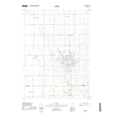
2018 Map of Oelwein
USGS Topo · Published 2018About this map
Oelwein anchors this portion of Northeast Iowa, showing a grid-heavy urban center surrounded by the expansive agricultural sections of Fayette and Buchanan counties. The city's development is concentrated around core thoroughfares like E Charles St and a dense network of numbered streets, which transition quickly into a landscape dominated by township roads and drainage basins. Waterways such as Otter Cr, Hunter Cr, and Hazelton Cr thread through the farmland, punctuated by civil engineering landmarks like the Otter Creek Bridge. For those researching local families, the map is particularly detailed in its placement of rural and municipal burial grounds. From the central Oakdale Cem and Woodlawn Cem to outlying sites like Oran Township Cem, Otsego Cem, and Kint Cem, these locations provide essential geographic context for the region's genealogical history and early settlement patterns.
Find a feature on this map
60 named features on this map. Tap any name to fly to it.
Don’t see what you’re looking for? This feature index may not catch every label — zoom into the map to look around manually.
Map Details
Editions of this 2018 Oelwein Map
This is the sole edition of this map. No revisions or reprints were ever made.
Other maps of this area

1901 · Oelwein
USGS Topo · 1:125,000

1954 · Waterloo
USGS Topo · 1:250,000

1955 · Waterloo
USGS Topo · 1:250,000

1959 · Dubuque
USGS Topo · 1:250,000

1961 · Dubuque
USGS Topo · 1:250,000

1962 · Dubuque
USGS Topo · 1:250,000

1971 · Sumner
USGS Topo · 1:24,000

1971 · Fairbank
USGS Topo · 1:24,000

1971 · Littleton
USGS Topo · 1:24,000

1976 · Dubuque
USGS Topo · 1:250,000