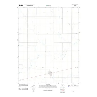
2009 Map of Offerle
USGS Topo · Published 2009About this map
Offerle sits at the intersection of local transportation and agricultural drainage in this Edwards County landscape. The town is defined by its rectilinear grid, with W Front ST serving as a primary corridor adjacent to the southern rail and road routes. The surrounding terrain is carved by the meandering paths of White Woman Creek and the multiple branches of Little Coon Creek, which create irregular breaks in the otherwise orderly section-line road system. Genealogy and local history are anchored by Saint Joseph Cemetery and Evergreen Cemetery, located just west of the town center. This survey captures the rural character of the area where Edwards County Line Rd marks the political boundary amidst a network of rural routes like Co Rd 18 and 135 Rd.
Find a feature on this map
12 named features on this map. Tap any name to fly to it.
Don’t see what you’re looking for? This feature index may not catch every label — zoom into the map to look around manually.
Map Details
Editions of this 2009 Offerle Map
This is the sole edition of this map. No revisions or reprints were ever made.
Other maps of this area

1889 · Larned
USGS Topo · 1:125,000

1889 · Kinsley
USGS Topo · 1:125,000

1891 · Larned
USGS Topo · 1:125,000

1892 · Ness
USGS Topo · 1:125,000

1892 · Kinsley
USGS Topo · 1:125,000

1892 · Spearville
USGS Topo · 1:125,000

1894 · Spearville
USGS Topo · 1:125,000

1894 · Kinsley
USGS Topo · 1:125,000

1894 · Ness
USGS Topo · 1:125,000

1955 · Great Bend
USGS Topo · 1:250,000