2022 Map of Offerle
USGS Topo · Published 2022About this map
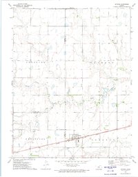
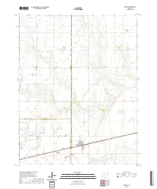
Offerle serves as the central hub of this western Kansas landscape, situated where the borders of Hodgeman, Ford, and Edwards counties converge. The settlement pattern is defined by a rigorous section-line grid, with roads like Pole Line Rd and Backtrail Rd marking the agricultural boundaries of the High Plains. Local history is anchored at Saint-Joseph Cem and Evergreen Cem, which provide significant genealogical data for the surrounding rural community. The terrain is subtly carved by the intermittent flows of Little Coon Creek and White Woman Cr, which wind through the township sections. This 2022 survey captures the modern configuration of a long-standing farming region, illustrating how early land patents and survey townships like t24s r21w continue to shape the contemporary road and property networks.
Find a feature on this map
39 named features on this map. Tap any name to fly to it.
Don’t see what you’re looking for? This feature index may not catch every label — zoom into the map to look around manually.
Map Details
Editions of this 2022 Offerle Map
This is the sole edition of this map. No revisions or reprints were ever made.