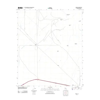
2012 Map of Ogilby
USGS Topo · Published 2012About this map
The Cargo Muchacho Mountains dominate the northeastern corner of this arid landscape, giving rise to several prominent desert drainages including Tumco Wash, American Girl Wash, and Araz Wash. At the heart of the region sits Ogilby, a historic junction point situated between the mountain foothills and the expansive Ogilby Hills. The presence of American Girl Mine Rd leading into the heights suggests a legacy of prospecting and resource extraction that defined the local economy for generations. Further south, the terrain shifts into a broad expanse of Dunes near the settlement of Felicity. This modern survey documents a network of desert roads such as Side Winder Rd and Ted Kipp Rd that connect these isolated outposts across the high desert floor, providing a detailed look at the geography of southeastern Imperial County.
Find a feature on this map
24 named features on this map. Tap any name to fly to it.
Don’t see what you’re looking for? This feature index may not catch every label — zoom into the map to look around manually.
Map Details
Editions of this 2012 Ogilby Map
This is the sole edition of this map. No revisions or reprints were ever made.
Other maps of this area
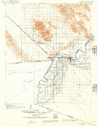
1903 · Yuma
USGS Topo · 1:125,000
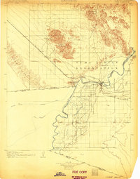
1905 · Yuma
USGS Topo · 1:125,000
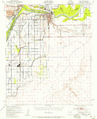
1940 · Yuma
USGS Topo · 1:62,500
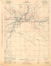
1942 · Yuma
USGS Topo · 1:250,000
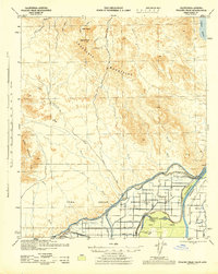
1945 · Picacho Peak
USGS Topo · 1:62,500
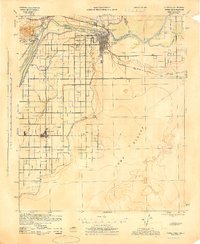
1945 · Yuma
USGS Topo · 1:62,500
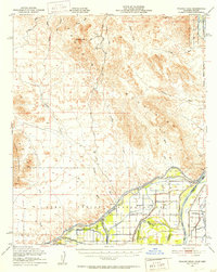
1951 · Picacho Peak
USGS Topo · 1:62,500
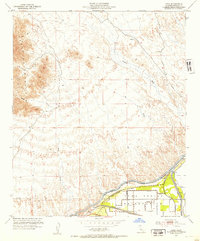
1952 · Araz
USGS Topo · 1:24,000
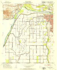
1952 · Yuma West
USGS Topo · 1:24,000
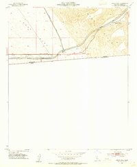
1953 · Grays Well
USGS Topo · 1:24,000