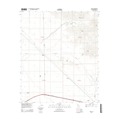
2015 Map of Ogilby
USGS Topo · Published 2015About this map
Ogilby and the surrounding desert floor of Imperial County are defined by a complex network of seasonal drainages and sharp mountain peaks. The Cargo Muchacho Mountains dominate the northeastern corner, where the terrain rises steeply toward Pasadena Peak and Stud Mtn. The landscape is etched by significant washes including American Girl Wash, Tumco Wash, and Araz Wash, which flow from the highlands toward the southern desert plains.
Find a feature on this map
26 named features on this map. Tap any name to fly to it.
Don’t see what you’re looking for? This feature index may not catch every label — zoom into the map to look around manually.
Map Details
Editions of this 2015 Ogilby Map
This is the sole edition of this map. No revisions or reprints were ever made.
Other maps of this area
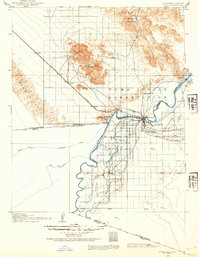
1903 · Yuma
USGS Topo · 1:125,000
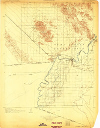
1905 · Yuma
USGS Topo · 1:125,000
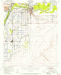
1940 · Yuma
USGS Topo · 1:62,500
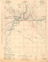
1942 · Yuma
USGS Topo · 1:250,000
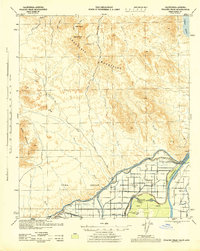
1945 · Picacho Peak
USGS Topo · 1:62,500
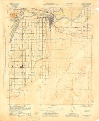
1945 · Yuma
USGS Topo · 1:62,500
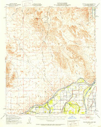
1951 · Picacho Peak
USGS Topo · 1:62,500
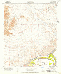
1952 · Araz
USGS Topo · 1:24,000
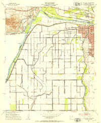
1952 · Yuma West
USGS Topo · 1:24,000
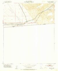
1953 · Grays Well
USGS Topo · 1:24,000