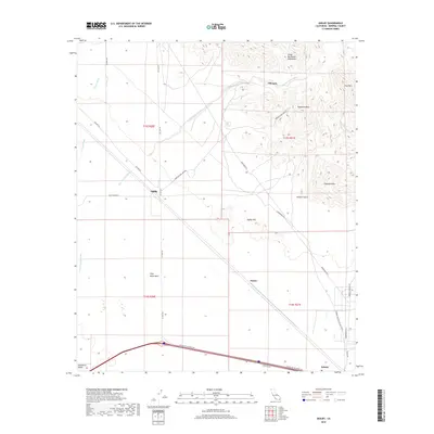
2018 Map of Ogilby
USGS Topo · Published 2018About this map
The Cargo Muchacho Mountains dominate the northeastern landscape of this Imperial County desert region, rising above the historic mining settlement of Obregon. The 2018 survey reveals a sparse network of roads and trails that intersect at Ogilby, where Co Hwy S34 meets the American Girl Mine Rd. This landscape is defined by the shifting sands of the Algodones Dunes in the southwest and the expansive Pilot Knob Mesa to the south. Further east, the small community of Felicity sits along the southern border, accessed by the uniquely named Center of the World Dr. The map provides a detailed view of the drainage patterns through the arid terrain, including Tumco Wash and American Girl Wash, illustrating how the geography dictates human passage through this rugged portion of the Colorado Desert.
Find a feature on this map
31 named features on this map. Tap any name to fly to it.
Don’t see what you’re looking for? This feature index may not catch every label — zoom into the map to look around manually.
Map Details
Editions of this 2018 Ogilby Map
This is the sole edition of this map. No revisions or reprints were ever made.
Other maps of this area
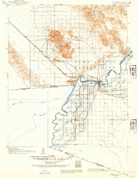
1903 · Yuma
USGS Topo · 1:125,000
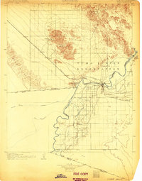
1905 · Yuma
USGS Topo · 1:125,000
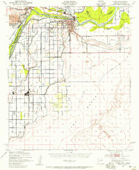
1940 · Yuma
USGS Topo · 1:62,500
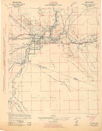
1942 · Yuma
USGS Topo · 1:250,000
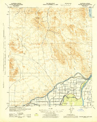
1945 · Picacho Peak
USGS Topo · 1:62,500
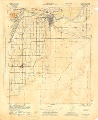
1945 · Yuma
USGS Topo · 1:62,500
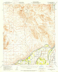
1951 · Picacho Peak
USGS Topo · 1:62,500
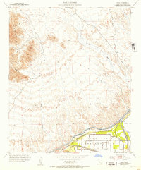
1952 · Araz
USGS Topo · 1:24,000
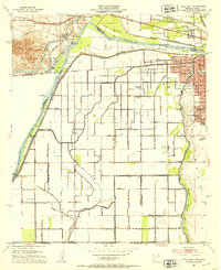
1952 · Yuma West
USGS Topo · 1:24,000
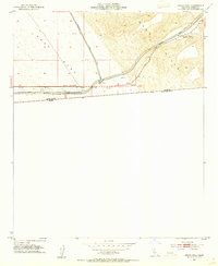
1953 · Grays Well
USGS Topo · 1:24,000