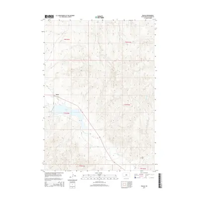
2015 Map of Oglala
USGS Topo · Published 2015About this map
Oglala serves as the central settlement on this modern topographic study, situated where the White Clay Cr meets the northern shores of Oglala Lake. The terrain is defined by the drainage patterns of the White Clay and Little Grass Cr, which carve through the high plains of the Pine Ridge area. This 2015 data reflects the established road network of the Bureau of Indian Affairs, including Bia-24, Bia-15, and Oglala 3, which connect the community to the surrounding landscape. Evidence of the local community's social fabric is found at the Po and the Saint James Cem, located in the southeastern portion of the quadrangle. The map provides a precise look at the township and range system, showing the boundaries between t37n r46w and t37n r45w as they intersect the reservoir and creek beds.
Find a feature on this map
17 named features on this map. Tap any name to fly to it.
Don’t see what you’re looking for? This feature index may not catch every label — zoom into the map to look around manually.
Map Details
Editions of this 2015 Oglala Map
This is the sole edition of this map. No revisions or reprints were ever made.
Other maps of this area
1951 · Rockyford SW
USGS Topo · 1:24,000
1951 · Rockyford SE
USGS Topo · 1:24,000

1955 · Hot Springs
USGS Topo · 1:250,000
1967 · Pine Ridge SW
USGS Topo · 1:24,000
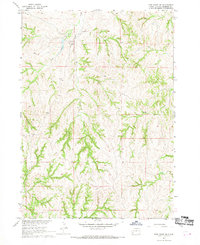
1967 · Pine Ridge NE
USGS Topo · 1:24,000
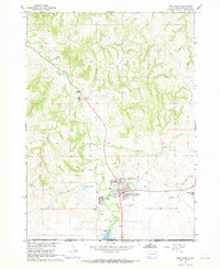
1967 · Pine Ridge
USGS Topo · 1:24,000
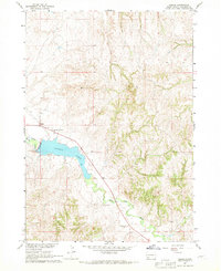
1967 · Oglala
USGS Topo · 1:24,000
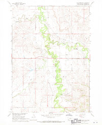
1967 · Slim Butte NE
USGS Topo · 1:24,000
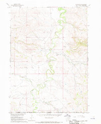
1967 · Slim Butte
USGS Topo · 1:24,000
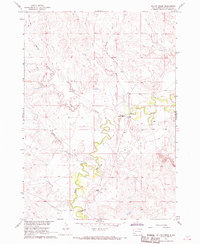
1967 · Willow Creek
USGS Topo · 1:24,000