2021 Map of Oglala
USGS Topo · Published 2021About this map
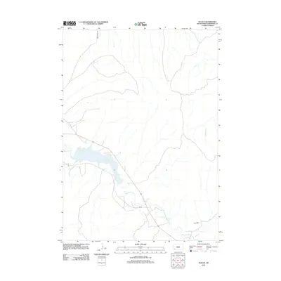
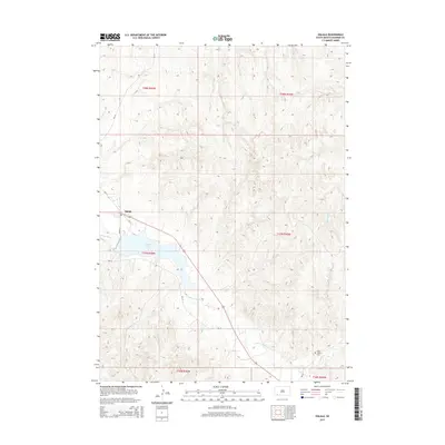
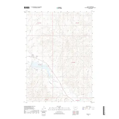
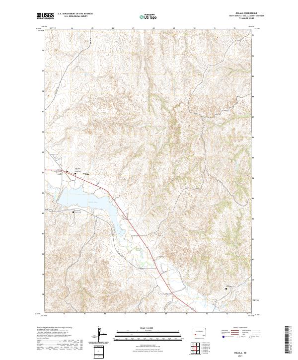
The settlement of Oglala serves as the central point of this modern survey, situated along the banks of White Clay Cr and the expansive Oglala Lake. The landscape is defined by the winding paths of several BIA roads, including Bia Rd Lakeside Rd and Buffalo Pasture Rd, which connect remote homesteads and community sites across the Oglala Lakota territory. For those tracing family histories in the region, the map provides precise locations for significant spiritual and burial grounds, such as Our Lady of the Sioux Cem and Saint Peter Church Cem. To the east, Little Grass Cr cuts through the terrain, while the southern reaches of the quadrangle are marked by Saint James Cem. This survey illustrates the contemporary intersection of traditional community centers and the natural hydrology of the Great Plains.
Find a feature on this map
22 named features on this map. Tap any name to fly to it.
Don’t see what you’re looking for? This feature index may not catch every label — zoom into the map to look around manually.
Map Details
Editions of this 2021 Oglala Map
This is the sole edition of this map. No revisions or reprints were ever made.
Historical Maps of Pine Ridge Through Time
5 maps found