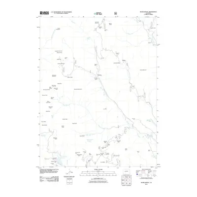
2011 Map of Oh-be-joyful
USGS Topo · Published 2011About this map
Pittsburg and Elkton serve as the primary markers of settlement in this high-elevation landscape, where the legacy of hard-rock mining is etched into the terrain. The map details a complex industrial past through numerous named sites like the Paradise Mine, Augusta Mine, and the Ruby Mining Property Mine. These operations were deeply tied to the natural drainage systems of the Slate River and Oh-be-joyful Creek, which carved through the surrounding peaks.
Find a feature on this map
79 named features on this map. Tap any name to fly to it.
Don’t see what you’re looking for? This feature index may not catch every label — zoom into the map to look around manually.
Map Details
Editions of this 2011 Oh-be-joyful Map
This is the sole edition of this map. No revisions or reprints were ever made.
Other maps of this area
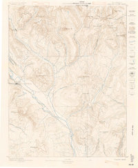
1888 · Crested Butte
USGS Topo · 1:62,500
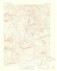
1888 · Anthracite
USGS Topo · 1:62,500
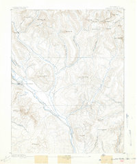
1889 · Crested Butte
USGS Topo · 1:62,500
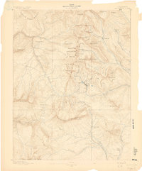
1889 · Anthracite
USGS Topo · 1:62,500
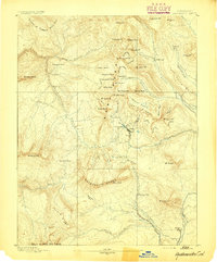
1893 · Anthracite
USGS Topo · 1:62,500
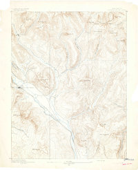
1893 · Crested Butte
USGS Topo · 1:62,500
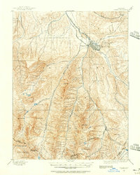
1893 · Aspen
USGS Topo · 1:62,500
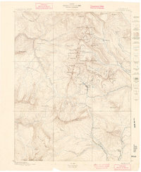
1894 · Anthracite
USGS Topo · 1:62,500
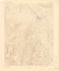
1895 · Aspen
USGS Topo · 1:62,500
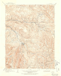
1909 · Mount Jackson
USGS Topo · 1:125,000