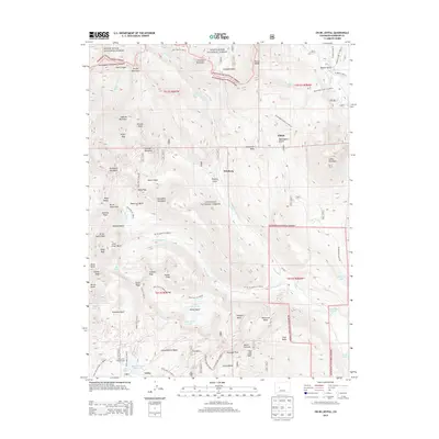
2013 Map of Oh-be-joyful
USGS Topo · Published 2013About this map
Irwin and Pittsburg anchor the southern and central sections of this high-altitude landscape, where the Gunnison National Forest meets the White River National Forest. The geography is defined by a series of steep drainages and prominent peaks, including Gothic Mountain and the Ruby Range. Historic mining activity is suggested by place names like Poverty Gulch and Mineral Point, while the presence of the Lake Irwin Campground and numerous trails like the Dyke Mountain Bike Trl 9838.0 reflect the modern transition to a recreation-based economy. Water is central to the area's character, with Meridian Lake Reservoir and Lake Irwin providing significant landmarks among the high-country basins such as Paradise Basin and Little Silver Basin.
Find a feature on this map
81 named features on this map. Tap any name to fly to it.
Don’t see what you’re looking for? This feature index may not catch every label — zoom into the map to look around manually.
Map Details
Editions of this 2013 Oh-be-joyful Map
This is the sole edition of this map. No revisions or reprints were ever made.
Other maps of this area
1888 · Crested Butte
USGS Topo · 1:62,500
1888 · Anthracite
USGS Topo · 1:62,500
1889 · Crested Butte
USGS Topo · 1:62,500
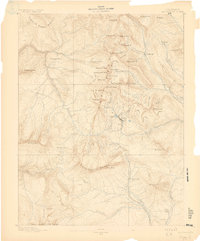
1889 · Anthracite
USGS Topo · 1:62,500
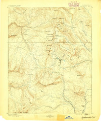
1893 · Anthracite
USGS Topo · 1:62,500
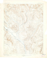
1893 · Crested Butte
USGS Topo · 1:62,500
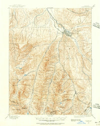
1893 · Aspen
USGS Topo · 1:62,500
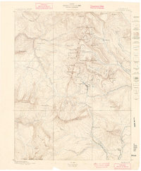
1894 · Anthracite
USGS Topo · 1:62,500
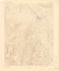
1895 · Aspen
USGS Topo · 1:62,500
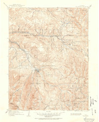
1909 · Mount Jackson
USGS Topo · 1:125,000