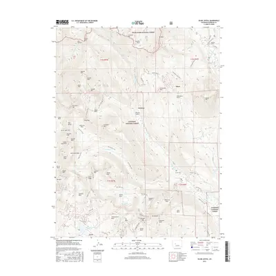
2016 Map of Oh-be-joyful
USGS Topo · Published 2016About this map
Elkton and Pittsburg sit within a landscape shaped by high-elevation mining and timber history, where early 21st-century topography meets a network of established pack and forest trails. The drainage of Slate River and Oh-be-joyful Cr carves through the central terrain, bordered by the massive profiles of Gothic Mtn and Anthracite Mesa. The map captures a sophisticated trail-and-road network, from the primitive Gunsight Pass Trail to Co RD 734, linking former industrial camps to the rugged peaks of the Ruby Range. To the south, Irwin rests near Meridian Lake Reservoir, serving as a gateway to the high basins. This area, shared between the White River National Forest and Gunnison National Forest, illustrates the transition from historic extraction to a modern landscape defined by recreation and watershed preservation, preserving names like Poverty Gulch and Democrat Basin.
Find a feature on this map
88 named features on this map. Tap any name to fly to it.
Don’t see what you’re looking for? This feature index may not catch every label — zoom into the map to look around manually.
Map Details
Editions of this 2016 Oh-be-joyful Map
This is the sole edition of this map. No revisions or reprints were ever made.
Other maps of this area
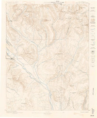
1888 · Crested Butte
USGS Topo · 1:62,500
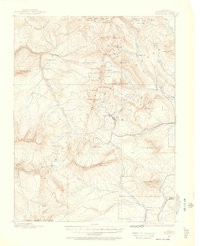
1888 · Anthracite
USGS Topo · 1:62,500
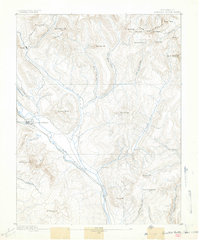
1889 · Crested Butte
USGS Topo · 1:62,500
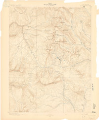
1889 · Anthracite
USGS Topo · 1:62,500
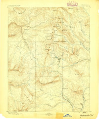
1893 · Anthracite
USGS Topo · 1:62,500
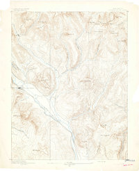
1893 · Crested Butte
USGS Topo · 1:62,500
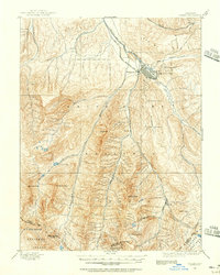
1893 · Aspen
USGS Topo · 1:62,500
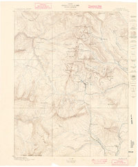
1894 · Anthracite
USGS Topo · 1:62,500
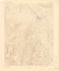
1895 · Aspen
USGS Topo · 1:62,500
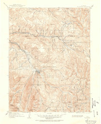
1909 · Mount Jackson
USGS Topo · 1:125,000