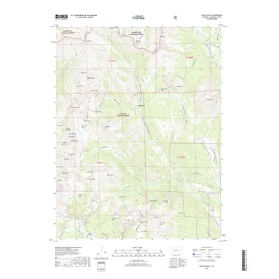
2019 Map of Oh-be-joyful
USGS Topo · Published 2019About this map
White River National Forest and Gunnison National Forest converge in this high-altitude landscape of the Elk Mountains, defined by sharp ridges and deep glacial basins. The settlement patterns of Elkton, Pittsburg, and Irwin are mapped alongside a complex network of seasonal routes, including the Slate River Snowmobile/Ski trail and Washington Gulch. Dramatic elevation changes are evident from the heights of Mt Owen and Gothic Mtn down to the valley of the Slate River. This modern survey illustrates the enduring legacy of the region's mining and ranching history, where old names like Poverty Gulch and Schuylkill Mtn remain as markers of the area's development. For local researchers, the map provides precise locations for remote water bodies such as Lower Peeler Lake and Blue Lake, as well as named topographic features like Scarp Ridge and Angel Pass.
Find a feature on this map
88 named features on this map. Tap any name to fly to it.
Don’t see what you’re looking for? This feature index may not catch every label — zoom into the map to look around manually.
Map Details
Editions of this 2019 Oh-be-joyful Map
This is the sole edition of this map. No revisions or reprints were ever made.
Other maps of this area
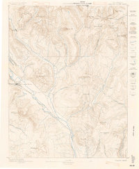
1888 · Crested Butte
USGS Topo · 1:62,500
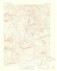
1888 · Anthracite
USGS Topo · 1:62,500
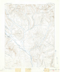
1889 · Crested Butte
USGS Topo · 1:62,500
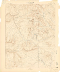
1889 · Anthracite
USGS Topo · 1:62,500
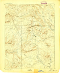
1893 · Anthracite
USGS Topo · 1:62,500
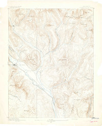
1893 · Crested Butte
USGS Topo · 1:62,500
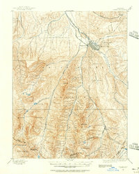
1893 · Aspen
USGS Topo · 1:62,500
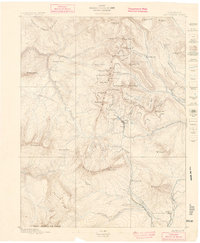
1894 · Anthracite
USGS Topo · 1:62,500
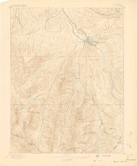
1895 · Aspen
USGS Topo · 1:62,500
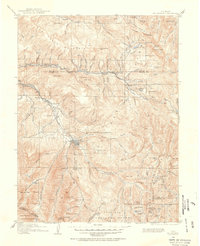
1909 · Mount Jackson
USGS Topo · 1:125,000