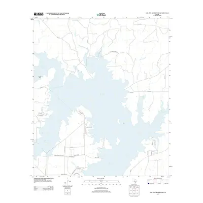
2013 Map of O.H. Ivie Reservoir
USGS Topo · Published 2013About this map
O. H. Ivie Reservoir dominates this Concho County landscape, with its irregular shoreline reaching deep into the drainage basins of Spring Br, Grape Cr, and Bull Hollow Br. The map documents a modern recreational and water-management landscape, defined by access points like Recreation Road 11 and residential developments along Lake Ivey Dr and Turkey Bend Rd. A significant historical remnant is preserved at Leaday Cem on the eastern shore, a rare terrestrial landmark in an area otherwise transformed by the reservoir's inundation. North of the water, the terrain rises toward Brushy Bluff, while the intricate network of county roads like Co Rd-126 and Co Rd-374 provides a look at the rural infrastructure that existed before and after the reservoir's completion.
Find a feature on this map
42 named features on this map. Tap any name to fly to it.
Don’t see what you’re looking for? This feature index may not catch every label — zoom into the map to look around manually.
Map Details
Editions of this 2013 O.H. Ivie Reservoir Map
This is the sole edition of this map. No revisions or reprints were ever made.
Other maps of this area
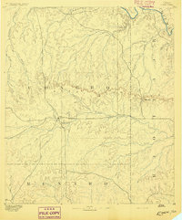
1892 · Eden
USGS Topo · 1:125,000
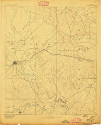
1892 · Ballinger
USGS Topo · 1:125,000
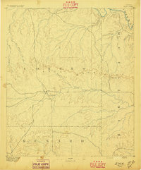
1896 · Eden
USGS Topo · 1:125,000
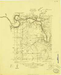
1924 · Eden 1-a
USGS Topo · 1:48,000
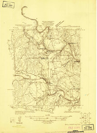
1925 · Ballinger 3-d
USGS Topo · 1:48,000
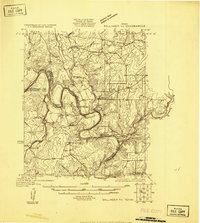
1925 · Ballinger 4-c
USGS Topo · 1:48,000
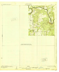
1931 · Stacy
USGS Topo · 1:62,500
1932 · Voss
USGS Topo · 1:62,500
1932 · Paint Rock
USGS Topo · 1:62,500

1954 · Brownwood
USGS Topo · 1:250,000