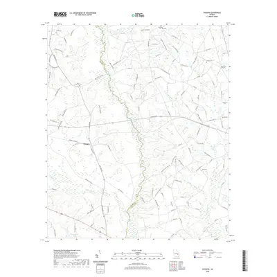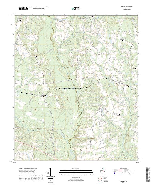
2024 Map of Ohoopee
USGS Topo · Published 2024About this map
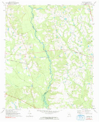
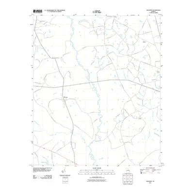
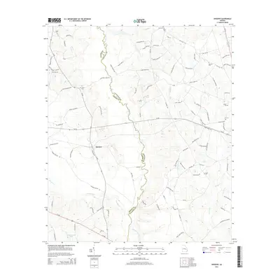
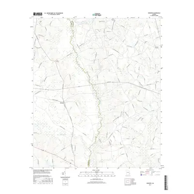
Ohoopee sits at the center of this contemporary landscape where the borders of Toombs and Tattnall counties meet. The geography is defined by the winding course of the Ohoopee River, which is joined by tributaries like Pendleton Creek and Brazells Creek. The area's rural character is emphasized by a high density of small family burial grounds and church yards, providing a detailed record for genealogical study. Scattered throughout the lowlands and higher ground of Hickory Hollow are several distinct sites, including the Rewis Family Cem Number 2, Saturday Cem, and Mount Zion Cem. This map records a traditional Georgia riverine environment where local history is preserved in the names of the small settlements and the family-named roads that connect them.
Find a feature on this map
102 named features on this map. Tap any name to fly to it.
Don’t see what you’re looking for? This feature index may not catch every label — zoom into the map to look around manually.
Map Details
Editions of this 2024 Ohoopee Map
This is the sole edition of this map. No revisions or reprints were ever made.
Historical Maps of Ohoopee Through Time
6 maps found