1970 Map of Ohoopee
USGS Topo · Published 1991About this map
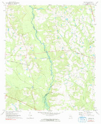
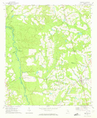
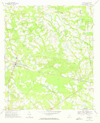
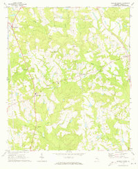
The Ohoopee River defines the landscape of this South Georgia corridor, weaving through the boundary between Toombs and Tattnall counties. The settlement of Ohoopee serves as a focal point where the Seaboard Coast Line railroad cuts across the coastal plain. This 1970 field-checked survey documents a rural society organized around family landmarks and local congregations, with a high density of named burial grounds including Saturday Cem, Mt Zion Cems, and Findley Cem. Tributaries like Brazells Creek and Pendleton Creek feed into the main river system, illustrating the drainage patterns that shaped local land use. For genealogists, the map is particularly valuable for locating dispersed rural landmarks such as Oakey Grove Ch and Little Flock Ch, many of which sit near the winding secondary roads that connect these isolated agricultural communities.
Find a feature on this map
19 named features on this map. Tap any name to fly to it.
Don’t see what you’re looking for? This feature index may not catch every label — zoom into the map to look around manually.
Map Details
Editions of this 1970 Ohoopee Map
2 editions found
Other maps of this area

1957 · Macon
USGS Topo · 1:250,000

1958 · Macon
USGS Topo · 1:250,000

1964 · Macon
USGS Topo · 1:250,000
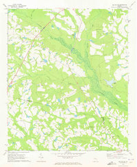
1970 · Cobbtown
USGS Topo · 1:24,000
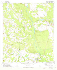
1970 · Collins
USGS Topo · 1:24,000
1970 · Johnson Corner
USGS Topo · 1:24,000
1970 · Metter SE
USGS Topo · 1:24,000
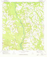
1970 · Ohoopee
USGS Topo · 1:24,000
1970 · Reidsville West
USGS Topo · 1:24,000
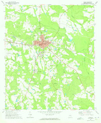
1970 · Lyons
USGS Topo · 1:24,000