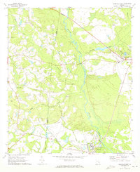
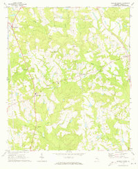
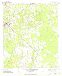
1970 Map of Reidsville West
USGS Topo · Published 1973About this map
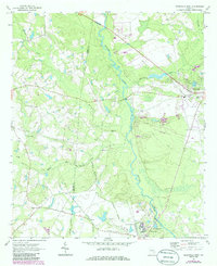
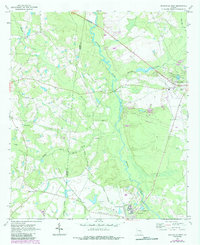
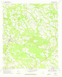
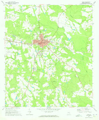
The Ohoopee River winds south through Tattnall and Toombs counties, forming a broad, swampy basin that dictates the local geography. Near the river’s eastern bend, the town of Reidsville serves as a regional hub, anchored by the sprawling State Prison complex and its designated Prison Boundary. This landscape is deeply marked by public infrastructure and local community landmarks, ranging from the Gordonia Alatamaha State Park to the Reidsville Airport.
Find a feature on this map
28 named features on this map. Tap any name to fly to it.
Don’t see what you’re looking for? This feature index may not catch every label — zoom into the map to look around manually.
Map Details
Editions of this 1970 Reidsville West Map
Other maps of this area

1953 · Waycross
USGS Topo · 1:250,000

1957 · Macon
USGS Topo · 1:250,000

1958 · Macon
USGS Topo · 1:250,000

1958 · Waycross
USGS Topo · 1:250,000

1964 · Macon
USGS Topo · 1:250,000
1970 · Collins
USGS Topo · 1:24,000
1970 · Johnson Corner
USGS Topo · 1:24,000
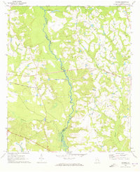
1970 · Ohoopee
USGS Topo · 1:24,000
1970 · Lyons
USGS Topo · 1:24,000
1970 · Reidsville East
USGS Topo · 1:24,000