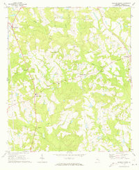
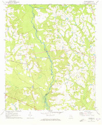
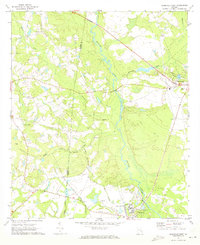
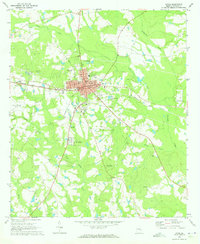
1970 Map of Johnson Corner
USGS Topo · Published 1973About this map
Toombs Central serves as a focal point in this rural landscape of Toombs County, where a network of country churches and small family cemeteries anchor the community. The topography is defined by the drainage systems of Rocky Creek, Cobb Creek, and Inman Creek, which carve through the terrain and influence the placement of early settlements. Social and religious life is clearly mapped through numerous landmarks like Hardens Chapel, Rocky Creek Ch, and Spring Hill Ch.
Find a feature on this map
23 named features on this map. Tap any name to fly to it.
Don’t see what you’re looking for? This feature index may not catch every label — zoom into the map to look around manually.
Map Details
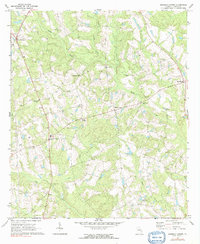
Editions of this 1970 Johnson Corner Map
2 editions found
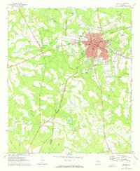
Other maps of this area

1953 · Waycross
USGS Topo · 1:250,000

1957 · Macon
USGS Topo · 1:250,000

1958 · Macon
USGS Topo · 1:250,000

1958 · Waycross
USGS Topo · 1:250,000

1964 · Macon
USGS Topo · 1:250,000
1970 · Alston
USGS Topo · 1:24,000
1970 · Vidalia
USGS Topo · 1:24,000
1970 · Ohoopee
USGS Topo · 1:24,000
1970 · Reidsville West
USGS Topo · 1:24,000
1970 · Lyons
USGS Topo · 1:24,000