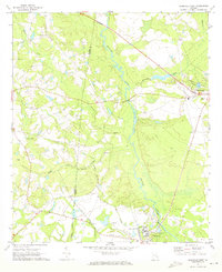
1970 Map of Ohoopee
USGS Topo · Published 1973About this map
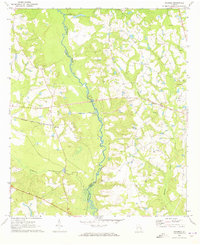
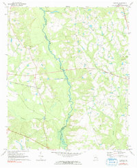
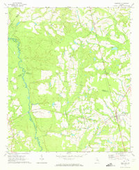
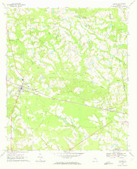
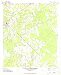
The Ohoopee River meanders southward through the heart of this landscape, marking the natural boundary between Toombs and Tatnall counties. The settlement of Ohoopee sits at a junction of rail and road, where the Seaboard Coast Line railroad cuts across the coastal plain. This 1970 survey reveals a community deeply rooted in its local geography, with numerous family and church-affiliated landmarks scattered throughout the terrain.
Find a feature on this map
18 named features on this map. Tap any name to fly to it.
Don’t see what you’re looking for? This feature index may not catch every label — zoom into the map to look around manually.
Map Details
Editions of this 1970 Ohoopee Map
2 editions found
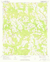
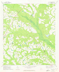
Other maps of this area

1957 · Macon
USGS Topo · 1:250,000

1958 · Macon
USGS Topo · 1:250,000

1964 · Macon
USGS Topo · 1:250,000
1970 · Cobbtown
USGS Topo · 1:24,000
1970 · Collins
USGS Topo · 1:24,000
1970 · Johnson Corner
USGS Topo · 1:24,000
1970 · Metter SE
USGS Topo · 1:24,000
1970 · Reidsville West
USGS Topo · 1:24,000
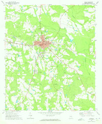
1970 · Lyons
USGS Topo · 1:24,000
1970 · Reidsville East
USGS Topo · 1:24,000