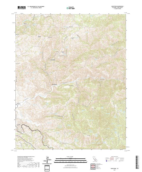
2021 Map of Oiler Peak
USGS Topo · Published 2021About this map
Caliente and Bealville anchor the western edge of this terrain, where the Southern Pacific railroad route once navigated the steep ascent toward Tehachapi Pass. The landscape is defined by a dense network of drainages and springs, such as Earthquake Spring and Dead Horse Spring, which supported the early transit and ranching operations through these canyons. The presence of Teamster Cutoff and Tollhouse Canyon points to a history of managed mountain passage and freighting before modern highway alignments took hold.
Find a feature on this map
142 named features on this map. Tap any name to fly to it.
Don’t see what you’re looking for? This feature index may not catch every label — zoom into the map to look around manually.
Map Details
Editions of this 2021 Oiler Peak Map
This is the sole edition of this map. No revisions or reprints were ever made.
Other maps of this area

1914 · Caliente
USGS Topo · 1:125,000

1915 · Mojave
USGS Topo · 1:125,000

1929 · Bena
USGS Topo · 1:31,680

1930 · Bear Mountain
USGS Topo · 1:31,680

1932 · Bena
USGS Topo · 1:31,680

1933 · Bear Mountain
USGS Topo · 1:31,680

1943 · Tehachapi
USGS Topo · 1:62,500

1943 · Emerald Mtn
USGS Topo · 1:62,500

1943 · Cummings Mountain
USGS Topo · 1:62,500

1943 · Breckenridge Mountain
USGS Topo · 1:62,500