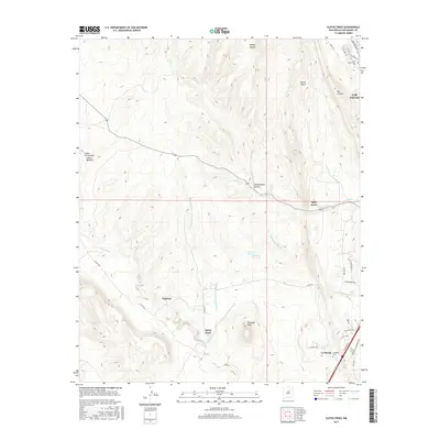
2017 Map of Ojitos Frios
USGS Topo · Published 2017About this map
Tecolote Peak dominates the high-country landscape southwest of Las Vegas. The terrain is deeply incised by a network of drainages including Abeyta Canyon, Devils Gulch, and Agua Zarca, which feed into the larger system of Tecolote Cr. This modern survey reveals a complex interface of traditional rural settlements like Ojitos Frios and Lagunas alongside the developing outskirts of the city.
Find a feature on this map
38 named features on this map. Tap any name to fly to it.
Don’t see what you’re looking for? This feature index may not catch every label — zoom into the map to look around manually.
Map Details
Editions of this 2017 Ojitos Frios Map
This is the sole edition of this map. No revisions or reprints were ever made.
Other maps of this area

1889 · Las Vegas
USGS Topo · 1:125,000

1890 · Bernal
USGS Topo · 1:125,000

1891 · Bernal
USGS Topo · 1:125,000

1891 · Las Vegas
USGS Topo · 1:125,000

1893 · Las Vegas
USGS Topo · 1:125,000

1894 · Bernal
USGS Topo · 1:125,000

1954 · Santa Fe
USGS Topo · 1:250,000

1958 · Santa Fe
USGS Topo · 1:250,000

1960 · Villanueva
USGS Topo · 1:62,500

1960 · Apache Springs
USGS Topo · 1:62,500