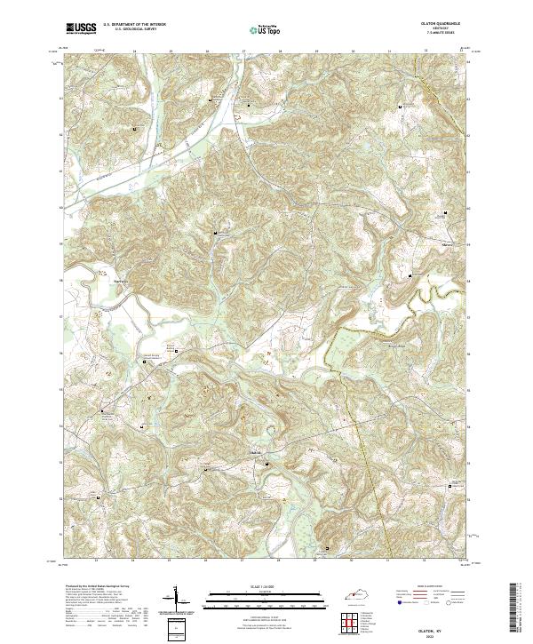
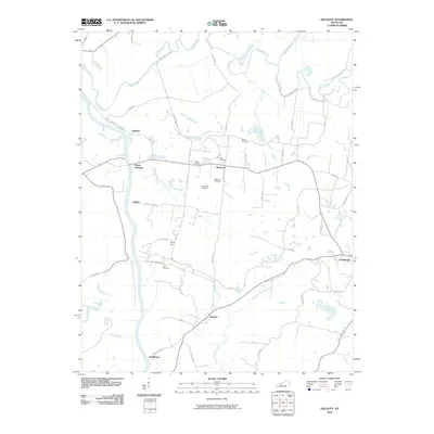
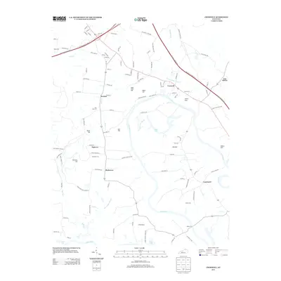
2022 Map of Olaton
USGS Topo · Published 2022About this map
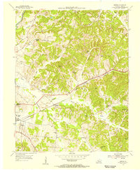
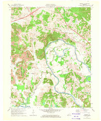
Rough River snakes through the borderlands of Ohio and Grayson counties, defining a landscape of narrow ridges and deep hollows. The settlement of Olaton sits near the confluence of Caney Creek and Rough River, serving as a central point for the surrounding rural homesteads. This area is heavily marked by its genealogical history, with numerous small family plots and church graveyards such as the Barrett Burying Ground and Cooksey Family Cem scattered across the uplands. Evidence of local industry is present at the Ft Hartford Mine, while the winding Railroad Bed Rd suggests the path of former transport lines through the valley. The map details a community tied to the land and water, from the small cluster at Shreve to the family-named landmarks like N J Faught Farm and Pond Ridge.
Find a feature on this map
90 named features on this map. Tap any name to fly to it.
Don’t see what you’re looking for? This feature index may not catch every label — zoom into the map to look around manually.
Map Details
Editions of this 2022 Olaton Map
This is the sole edition of this map. No revisions or reprints were ever made.
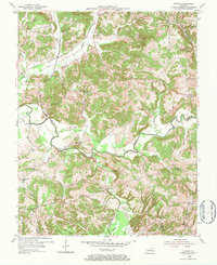
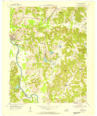
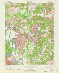
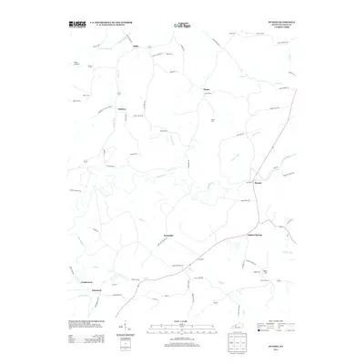
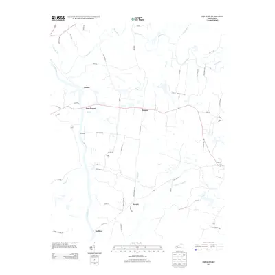
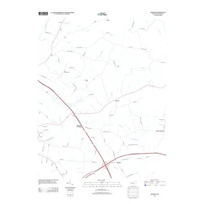
Historical Maps of Olaton Through Time
39 maps found
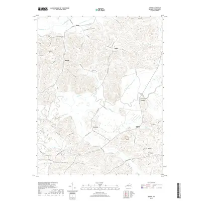
1952 Equality
Ohio County, KY
1953 Dundee
Ohio County, KY
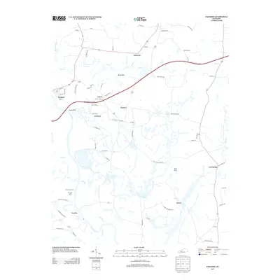
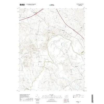
1954 Cromwell
Ohio County, KY
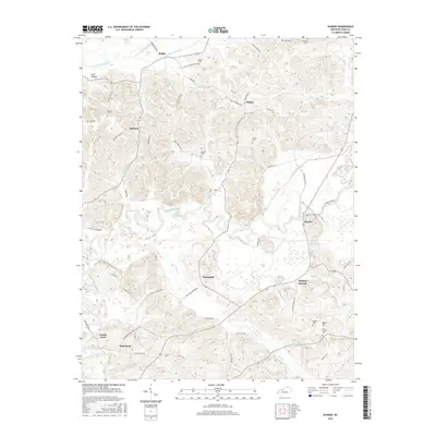
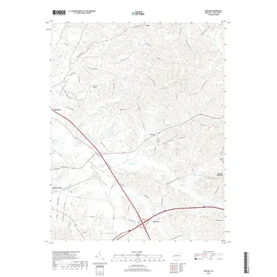
1954 Horton
Ohio County, KY
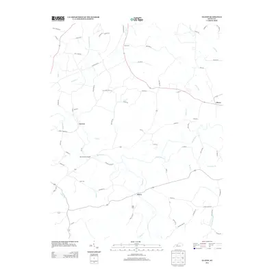
1954 Olaton
Ohio County, KY
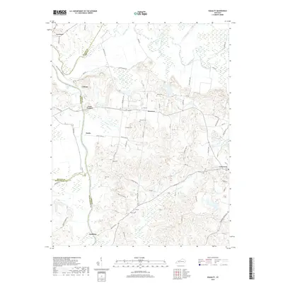
1954 Paradise
Ohio County, KY
1963 Paradise
Ohio County, KY
1971 Cromwell
Ohio County, KY
1971 Horton
Ohio County, KY
2010 Cromwell
Ohio County, KY
2010 Dundee
Ohio County, KY
2010 Equality
Ohio County, KY
2010 Horton
Ohio County, KY
2010 Olaton
Ohio County, KY
2010 Paradise
Ohio County, KY
2013 Cromwell
Ohio County, KY
2013 Dundee
Ohio County, KY
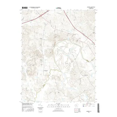
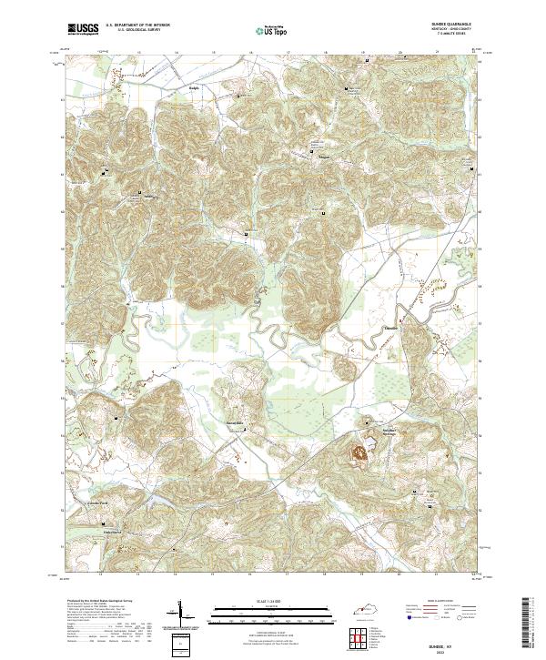
2013 Equality
Ohio County, KY
2013 Horton
Ohio County, KY
2013 Olaton
Ohio County, KY
2013 Paradise
Ohio County, KY
2016 Cromwell
Ohio County, KY
2016 Dundee
Ohio County, KY
2016 Equality
Ohio County, KY
2016 Horton
Ohio County, KY
2016 Olaton
Ohio County, KY
2016 Paradise
Ohio County, KY
2019 Cromwell
Ohio County, KY
2019 Dundee
Ohio County, KY
2019 Equality
Ohio County, KY
2019 Horton
Ohio County, KY
2019 Olaton
Ohio County, KY
2019 Paradise
Ohio County, KY
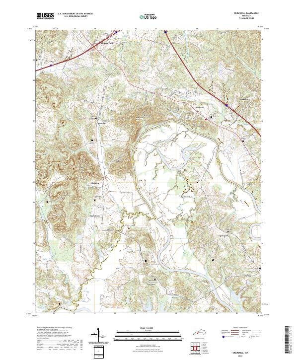
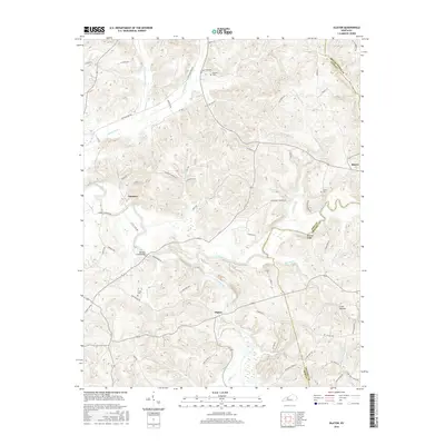
2022 Cromwell
Ohio County, KY
2022 Dundee
Ohio County, KY
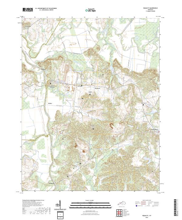
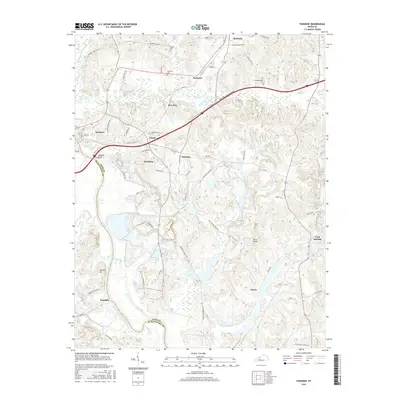
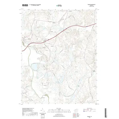
2022 Equality
Ohio County, KY
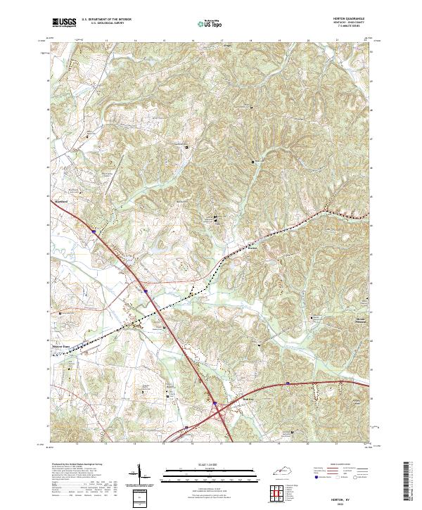
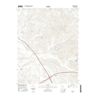
2022 Horton
Ohio County, KY
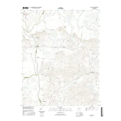
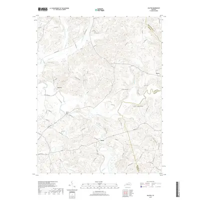
2022 Olaton
Ohio County, KY
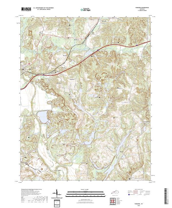
2022 Paradise
Ohio County, KY