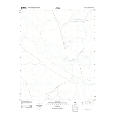
2012 Map of Old Ibex Pass
USGS Topo · Published 2012About this map
Saratoga Spring serves as a vital water source in this arid corner of San Bernardino County, where the desert landscape is defined by the ephemeral drainage of the Amargosa River. This 2012 survey documents the southeastern boundary of Death Valley National Park, illustrating the geographic transition at Old Ibex Pass. The transport network here is sparse, consisting primarily of unpaved routes like Ibex Spring Rd and Saratoga Springs Rd that follow the natural contours of the land. The presence of Ibex Wash and Buckwheat Wash indicates a topography shaped by seasonal flash flooding, characteristic of the Mojave desert. This map provides a clear record of land management and access points into the national park's protected wilderness shortly after the turn of the millennium.
Find a feature on this map
9 named features on this map. Tap any name to fly to it.
Don’t see what you’re looking for? This feature index may not catch every label — zoom into the map to look around manually.
Map Details
Editions of this 2012 Old Ibex Pass Map
This is the sole edition of this map. No revisions or reprints were ever made.
Other maps of this area

1933 · Avawatz Mountains
USGS Topo · 1:250,000

1947 · Trona
USGS Topo · 1:250,000

1948 · Trona
USGS Topo · 1:250,000
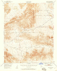
1948 · Leach Lake
USGS Topo · 1:62,500
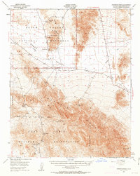
1948 · Avawatz Pass
USGS Topo · 1:62,500
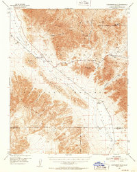
1950 · Confidence Hills
USGS Topo · 1:62,500
1951 · Avawatz Pass
USGS Topo · 1:62,500
1951 · Leach Lake
USGS Topo · 1:62,500
1951 · Shoshone
USGS Topo · 1:62,500

1953 · Trona
USGS Topo · 1:250,000