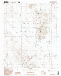
1996 Map of Old Ibex Pass
USGS Topo · Published 1999About this map
The Ibex Hills and the southern reaches of Death Valley define this landscape, where early mining ventures and vital desert water sources intersect. This 1990s provisional record identifies several extraction sites, including the Superior Mine, White Cap Mine, and Pogo Mine, highlighting the industrial history of the Mojave Desert. The presence of Saratoga Springs and Valley Spring points to the essential hydrologic nodes that sustained travel and operations in this arid environment long before it was designated as Death Valley National Park. Further south, the Avawatz Mountains rise above the drainage of the Amargosa River, which cuts through the basin. Several primitive routes, such as Saratoga Springs Road and Sara Road, provide evidence of the desert's accessibility and its role in regional transit.
Find a feature on this map
20 named features on this map. Tap any name to fly to it.
Don’t see what you’re looking for? This feature index may not catch every label — zoom into the map to look around manually.
Map Details
Editions of this 1996 Old Ibex Pass Map
This is the sole edition of this map. No revisions or reprints were ever made.
Other maps of this area

1933 · Avawatz Mountains
USGS Topo · 1:250,000

1947 · Trona
USGS Topo · 1:250,000

1948 · Trona
USGS Topo · 1:250,000

1948 · Leach Lake
USGS Topo · 1:62,500

1948 · Avawatz Pass
USGS Topo · 1:62,500

1950 · Confidence Hills
USGS Topo · 1:62,500

1951 · Avawatz Pass
USGS Topo · 1:62,500
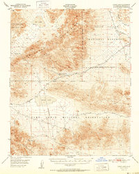
1951 · Leach Lake
USGS Topo · 1:62,500

1951 · Shoshone
USGS Topo · 1:62,500

1953 · Trona
USGS Topo · 1:250,000