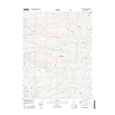
2015 Map of Old Iron Mountain
USGS Topo · Published 2015About this map
Eldorado National Forest defines this high-elevation landscape, where deep canyons and ridges dictate the placement of small mountain settlements and historic routes. In the northwestern corner, Bryants and Griminger sit near the Mormon Emigrant Trl, while the N Fork Cosumnes River cuts a significant path through the southern half of the map. The terrain is notably marked by geographic features like Old Iron Mountain and Baltic Ridge, which separate the various drainages of Camp Cr and Sly Park Cr.
Find a feature on this map
58 named features on this map. Tap any name to fly to it.
Don’t see what you’re looking for? This feature index may not catch every label — zoom into the map to look around manually.
Map Details
Editions of this 2015 Old Iron Mountain Map
This is the sole edition of this map. No revisions or reprints were ever made.
Other maps of this area

1889 · Pyramid Peak
USGS Topo · 1:125,000

1891 · Placerville
USGS Topo · 1:125,000

1891 · Pyramid Peak
USGS Topo · 1:125,000

1892 · Placerville
USGS Topo · 1:125,000

1893 · Placerville
USGS Topo · 1:125,000

1895 · Pyramid Peak
USGS Topo · 1:125,000

1896 · Pyramid Peak
USGS Topo · 1:125,000

1947 · Sacramento
USGS Topo · 1:250,000

1948 · Sacramento
USGS Topo · 1:250,000

1950 · Riverton
USGS Topo · 1:24,000