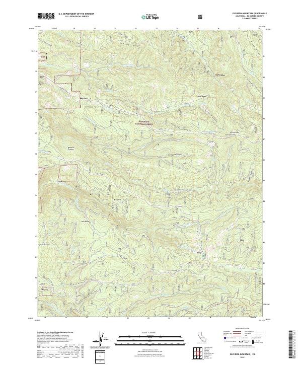
2021 Map of Old Iron Mountain
USGS Topo · Published 2021About this map
Eldorado National Forest encompasses this high-elevation landscape, where the Sierra Nevada's drainage patterns are defined by the N Fork Cosumnes River and the Steely Fork Cosumnes River. The map highlights a network of historic forest settlements including Bryants, Bonetti, and Griminger, which represent the scattered residential and logging hubs of the mid-20th century. The terrain is dominated by prominent landforms like Old Iron Mtn and Plummer Ridge, intersected by a complex system of forestry roads and recreational paths.
Find a feature on this map
66 named features on this map. Tap any name to fly to it.
Don’t see what you’re looking for? This feature index may not catch every label — zoom into the map to look around manually.
Map Details
Editions of this 2021 Old Iron Mountain Map
This is the sole edition of this map. No revisions or reprints were ever made.
Other maps of this area

1889 · Pyramid Peak
USGS Topo · 1:125,000

1891 · Placerville
USGS Topo · 1:125,000

1891 · Pyramid Peak
USGS Topo · 1:125,000

1892 · Placerville
USGS Topo · 1:125,000

1893 · Placerville
USGS Topo · 1:125,000

1895 · Pyramid Peak
USGS Topo · 1:125,000

1896 · Pyramid Peak
USGS Topo · 1:125,000

1947 · Sacramento
USGS Topo · 1:250,000

1948 · Sacramento
USGS Topo · 1:250,000

1950 · Riverton
USGS Topo · 1:24,000