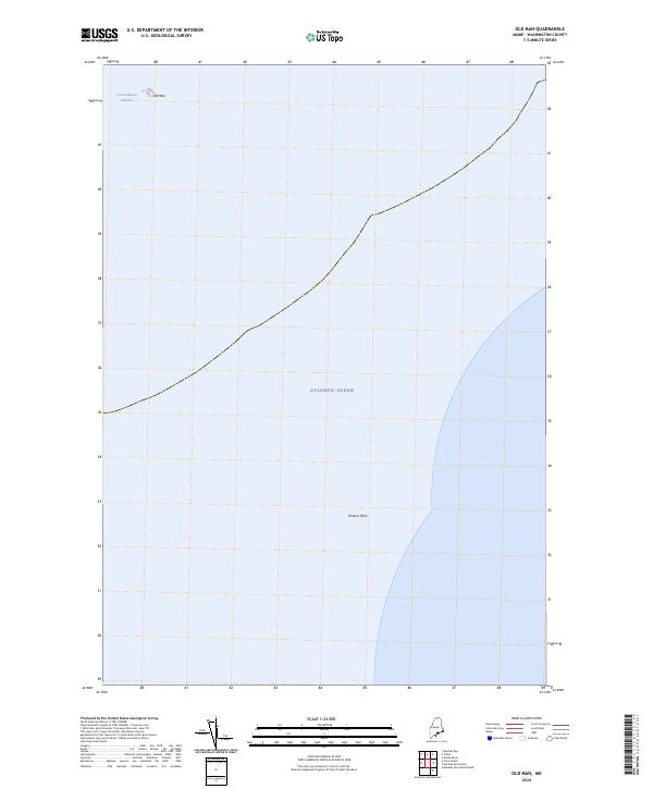
2024 Map of Old Man
USGS Topo · Published 2024About this map
Cross Island National Wildlife Refuge encompasses the small, isolated islands that punctuate the coastal waters of Washington County. This maritime landscape is defined by the Grand Manan Channel and the open Atlantic Ocean, where land masses are few and far between. The terrain features are limited to significant navigational landmarks like the island known as Old Man and the submerged hazard of Flowers Rock. For coastal researchers, this survey represents the modern configuration of Maine's outermost boundaries, where the terrestrial world gives way to the deep currents of the channel. The map's sparse labels emphasize the isolation of these islands and their importance to regional navigation and wildlife conservation in the early 21st century.
Find a feature on this map
5 named features on this map. Tap any name to fly to it.
Don’t see what you’re looking for? This feature index may not catch every label — zoom into the map to look around manually.
Map Details
Editions of this 2024 Old Man Map
This is the sole edition of this map. No revisions or reprints were ever made.
Other maps of this area

1917 · Cutler
USGS Topo · 1:62,500

1918 · Machias
USGS Topo · 1:62,500

1918 · Cutler
USGS Topo · 1:62,500

1941 · Machias
USGS Topo · 1:62,500
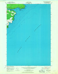
1949 · Moose River
USGS Topo · 1:24,000
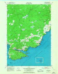
1949 · Cutler
USGS Topo · 1:24,000
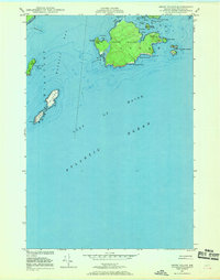
1949 · Cross Island
USGS Topo · 1:24,000
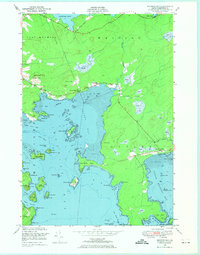
1949 · Machias Bay
USGS Topo · 1:24,000
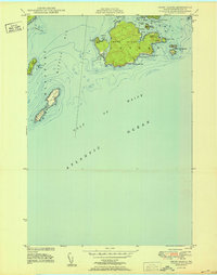
1950 · Cross Island
USGS Topo · 1:24,000
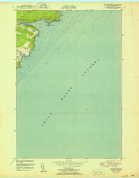
1951 · Moose River
USGS Topo · 1:24,000