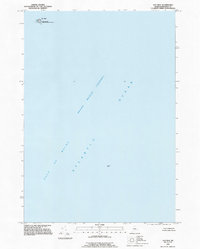
1993 Map of Old Man
USGS Topo · Published 1995About this map
Cross Island National Wildlife Refuge reaches into the northernmost reaches of this maritime sheet, capturing a small but significant island outpost within Cutler Twp. The landscape is dominated by the meeting of the Gulf of Maine and the Grand Manan Channel, a critical waterway for coastal navigation. Named hazards and landmarks like Flowers Rock and the islet known as Old Man are the primary terrestrial features in an area otherwise defined by the vast expanse of the Atlantic Ocean. This 1993 field check preserves the exact boundary of the refuge and the navigational points used by Washington County mariners during the late twentieth century, showing the remote character of the Maine coast before more modern digital updates.
Find a feature on this map
7 named features on this map. Tap any name to fly to it.
Don’t see what you’re looking for? This feature index may not catch every label — zoom into the map to look around manually.
Map Details
Editions of this 1993 Old Man Map
This is the sole edition of this map. No revisions or reprints were ever made.
Other maps of this area

1917 · Cutler
USGS Topo · 1:62,500

1918 · Machias
USGS Topo · 1:62,500

1918 · Cutler
USGS Topo · 1:62,500

1941 · Machias
USGS Topo · 1:62,500
1949 · Moose River
USGS Topo · 1:24,000
1949 · Cutler
USGS Topo · 1:24,000
1949 · Cross Island
USGS Topo · 1:24,000
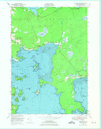
1949 · Machias Bay
USGS Topo · 1:24,000
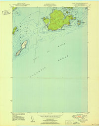
1950 · Cross Island
USGS Topo · 1:24,000
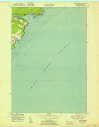
1951 · Moose River
USGS Topo · 1:24,000