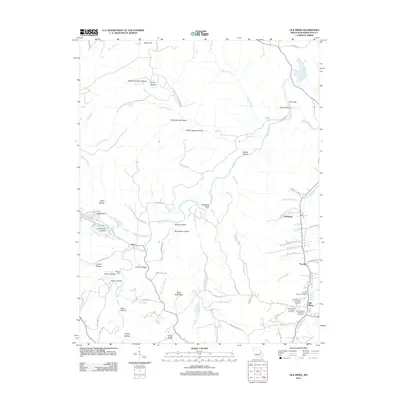
2012 Map of Old Mines
USGS Topo · Published 2012About this map
Old Mines and the surrounding Washington County landscape are defined by a complex network of waterways and early settlements in this 2012 study. The Mineral Fork and Old Mines Creek serve as the primary drainage for a region marked by deep genealogical roots, visible through the preservation of the three Saint Joachim Cemeteries and the Old Baptist Church Cemetery. Smaller communities like Aptus, Racola, and Robidoux are connected by a web of local roads such as Kingston Rd and Pat Daly Rd, tracing paths between distinctive terrain features like Shoot-in Bluff and Chambo Ridge.
Find a feature on this map
75 named features on this map. Tap any name to fly to it.
Don’t see what you’re looking for? This feature index may not catch every label — zoom into the map to look around manually.
Map Details
Editions of this 2012 Old Mines Map
This is the sole edition of this map. No revisions or reprints were ever made.
Other maps of this area

1901 · De Soto
USGS Topo · 1:125,000

1905 · Bonneterre
USGS Topo · 1:62,500

1906 · Potosi
USGS Topo · 1:62,500

1937 · Fletcher
USGS Topo · 1:24,000

1937 · Tiff
USGS Topo · 1:24,000

1938 · Fletcher
USGS Topo · 1:24,000

1939 · Tiff
USGS Topo · 1:24,000

1946 · Richwoods
USGS Topo · 1:62,500

1948 · Richwoods
USGS Topo · 1:62,500

1949 · Saint Louis
USGS Topo · 1:250,000