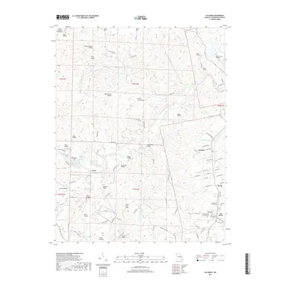
2017 Map of Old Mines
USGS Topo · Published 2017About this map
Old Mines anchors the southeast corner of this Missouri landscape, where the naming conventions of the hollows and ridges reflect a deep history of local settlement. The map traces the winding paths of Mineral Fork and its tributaries, such as Rabidoux Br and Old Mines Cr, through a terrain defined by significant elevation changes near the Saint Francois Mountains. A distinct concentration of religious and genealogical sites is found near the settlement of Old Mines, including three separate sections of the Saint Joachim Cem Number 1 complex and the Old Baptist Church Cem.
Find a feature on this map
114 named features on this map. Tap any name to fly to it.
Don’t see what you’re looking for? This feature index may not catch every label — zoom into the map to look around manually.
Map Details
Editions of this 2017 Old Mines Map
This is the sole edition of this map. No revisions or reprints were ever made.
Other maps of this area
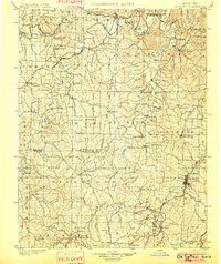
1901 · De Soto
USGS Topo · 1:125,000
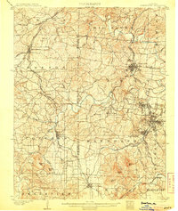
1905 · Bonneterre
USGS Topo · 1:62,500
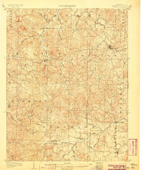
1906 · Potosi
USGS Topo · 1:62,500
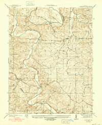
1937 · Fletcher
USGS Topo · 1:24,000
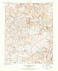
1937 · Tiff
USGS Topo · 1:24,000
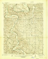
1938 · Fletcher
USGS Topo · 1:24,000
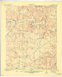
1939 · Tiff
USGS Topo · 1:24,000
1946 · Richwoods
USGS Topo · 1:62,500
1948 · Richwoods
USGS Topo · 1:62,500
1949 · Saint Louis
USGS Topo · 1:250,000