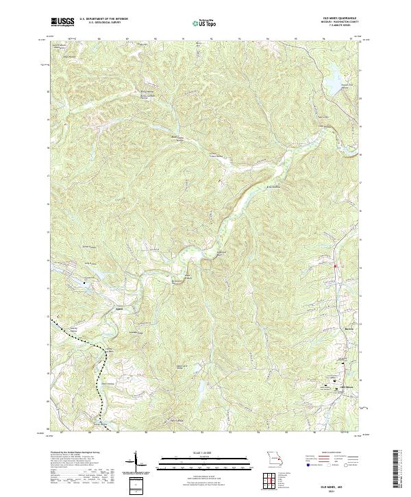
2021 Map of Old Mines
USGS Topo · Published 2021About this map
Old Mines serves as a primary point of interest in this survey of Washington County, Missouri, highlighting the region's long history of mineral extraction and religious community. The landscape is dotted with genealogical landmarks, including a cluster of three distinct cemeteries—Saint Joachim Cem Number 1, Saint Joachim Cem Number 2, and Saint Joachim Cem Number 3—alongside the Old Baptist Church Cem. These sites, along with Higginbotham Cem to the northwest, speak to the settled roots of communities like Racola, Aptus, and the Valley of Eden. The terrain is shaped by the northern reaches of the Saint Francois Mountains and a complex drainage system led by the Mineral Fork and Old Mines Cr. Notable landmarks such as Crystal Spring, Shoot-in Bluff, and Twin Cliffs define the ridges and hollows, while established roads like Kingston Rd and State Hwy F connect these interior settlements.
Find a feature on this map
105 named features on this map. Tap any name to fly to it.
Don’t see what you’re looking for? This feature index may not catch every label — zoom into the map to look around manually.
Map Details
Editions of this 2021 Old Mines Map
This is the sole edition of this map. No revisions or reprints were ever made.
Other maps of this area

1901 · De Soto
USGS Topo · 1:125,000

1905 · Bonneterre
USGS Topo · 1:62,500

1906 · Potosi
USGS Topo · 1:62,500

1937 · Fletcher
USGS Topo · 1:24,000

1937 · Tiff
USGS Topo · 1:24,000

1938 · Fletcher
USGS Topo · 1:24,000

1939 · Tiff
USGS Topo · 1:24,000

1946 · Richwoods
USGS Topo · 1:62,500

1948 · Richwoods
USGS Topo · 1:62,500

1949 · Saint Louis
USGS Topo · 1:250,000