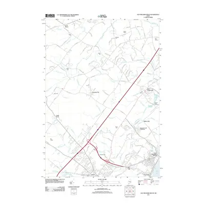
2011 Map of Old Orchard Beach
USGS Topo · Published 2011About this map
Old Orchard Beach and its surrounding coastal lowlands are defined by a complex network of waterways, including the winding Nonesuch River and the estuaries draining into Saco Bay. This survey captures the transition from the dense street grids of Saco and the Dunegrass Golf Community to the more rural, ridge-dominated landscape of South Buxton and Beech Ridge. Local history is visible in the distribution of family-named features and industrial markers such as Milliken Mills and the Bradley-Springs Island Dam. In the northeast, the Beech Ridge Speedway stands as a prominent cultural landmark, while quiet corners like the Pet Cemetery and West Scarborough Cemetery offer points of interest for genealogists and local historians. The landscape is a mixture of modern residential developments and traditional Maine topography, where features like Goosefare Hill and Slater Hill rise above the coastal marshes and brooks.
Find a feature on this map
140 named features on this map. Tap any name to fly to it.
Don’t see what you’re looking for? This feature index may not catch every label — zoom into the map to look around manually.
Map Details
Editions of this 2011 Old Orchard Beach Map
This is the sole edition of this map. No revisions or reprints were ever made.
Other maps of this area

1891 · Portland
USGS Topo · 1:62,500

1891 · Biddeford
USGS Topo · 1:62,500

1891 · Kennebunk
USGS Topo · 1:62,500

1891 · Buxton
USGS Topo · 1:62,500

1892 · Buxton
USGS Topo · 1:62,500

1893 · Kennebunk
USGS Topo · 1:62,500

1893 · Biddeford
USGS Topo · 1:62,500

1893 · Portland
USGS Topo · 1:62,500

1893 · Buxton
USGS Topo · 1:62,500

1898 · Kennebunk
USGS Topo · 1:62,500