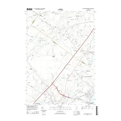
2014 Map of Old Orchard Beach
USGS Topo · Published 2014About this map
The boundary between York County and Cumberland County cuts diagonally through this coastal landscape, separating the inland reaches of South Buxton from the bustling shores of Old Orchard Beach. This 2014 survey documents a mix of legacy agricultural land and modern development, where the Dunegrass Golf Community sits near historical industrial sites like Milliken Mills. The map is particularly dense with genealogical sites, including the Dearing Graveyard and numerous family plots such as the McLaughlin Cem and Libby Mitchell Cem.
Find a feature on this map
199 named features on this map. Tap any name to fly to it.
Don’t see what you’re looking for? This feature index may not catch every label — zoom into the map to look around manually.
Map Details
Editions of this 2014 Old Orchard Beach Map
This is the sole edition of this map. No revisions or reprints were ever made.
Other maps of this area

1891 · Portland
USGS Topo · 1:62,500

1891 · Biddeford
USGS Topo · 1:62,500

1891 · Kennebunk
USGS Topo · 1:62,500

1891 · Buxton
USGS Topo · 1:62,500

1892 · Buxton
USGS Topo · 1:62,500

1893 · Kennebunk
USGS Topo · 1:62,500

1893 · Biddeford
USGS Topo · 1:62,500

1893 · Portland
USGS Topo · 1:62,500

1893 · Buxton
USGS Topo · 1:62,500

1898 · Kennebunk
USGS Topo · 1:62,500