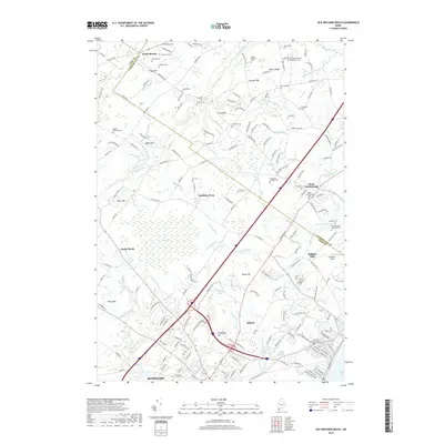
2018 Map of Old Orchard Beach
USGS Topo · Published 2018About this map
Saco and Biddeford anchor the southern portion of this landscape, where the Goosefare Brook and Cascade Brook flow toward the coast. The map reveals a dense network of local history, particularly through its numerous family burying grounds and cemeteries like the Dearing Graveyard and Staples Cem near the marshy edges of Saco Bay. Inland, the terrain rises toward Beech Ridge and Mitchell Hill, showing a transition from the industrial and residential corridors of West Scarborough to the more open spaces of South Buxton. This 2018 survey documents the persistent presence of the Pan Am Railways corridor as it cuts through the region, alongside historic mill sites like Milliken Mills. The map also details complex wetland systems including The Heath and Skilly Hills, illustrating the environmental character of the York Co and Cumberland Co border lands.
Find a feature on this map
195 named features on this map. Tap any name to fly to it.
Don’t see what you’re looking for? This feature index may not catch every label — zoom into the map to look around manually.
Map Details
Editions of this 2018 Old Orchard Beach Map
This is the sole edition of this map. No revisions or reprints were ever made.
Other maps of this area

1891 · Portland
USGS Topo · 1:62,500

1891 · Biddeford
USGS Topo · 1:62,500

1891 · Kennebunk
USGS Topo · 1:62,500

1891 · Buxton
USGS Topo · 1:62,500

1892 · Buxton
USGS Topo · 1:62,500

1893 · Kennebunk
USGS Topo · 1:62,500

1893 · Biddeford
USGS Topo · 1:62,500

1893 · Portland
USGS Topo · 1:62,500

1893 · Buxton
USGS Topo · 1:62,500

1898 · Kennebunk
USGS Topo · 1:62,500