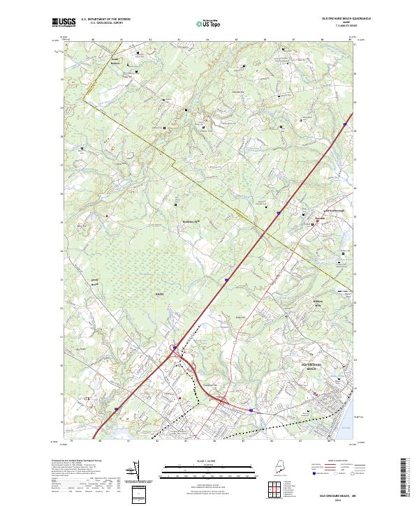
2024 Map of Old Orchard Beach
USGS Topo · Published 2024About this map
Old Orchard Beach serves as the coastal anchor of this landscape, where the dense street grid of the resort community meets the salt marshes of the Rachel Carson National Wildlife Refuge along Saco Bay. Moving inland, the terrain transitions into a mosaic of woodland and early industrial settlements like Milliken Mills and Dunstan. The map is particularly notable for its high concentration of small family burial grounds, including the Reverend Stephen Waterhouse Cem, Fenderson Family Cem, and Carter Family Cem, which offer significant value for genealogical research in this part of Saco and the surrounding area. Waterways like the Nonesuch River and Goosefare Brook define the drainage patterns across the rolling hills of Goosefare Hill and Mitchell Hill, illustrating the enduring relationship between the region's hydrography and its historical development from South Buxton to the coast.
Find a feature on this map
210 named features on this map. Tap any name to fly to it.
Don’t see what you’re looking for? This feature index may not catch every label — zoom into the map to look around manually.
Map Details
Editions of this 2024 Old Orchard Beach Map
This is the sole edition of this map. No revisions or reprints were ever made.
Other maps of this area

1891 · Portland
USGS Topo · 1:62,500

1891 · Biddeford
USGS Topo · 1:62,500

1891 · Kennebunk
USGS Topo · 1:62,500

1891 · Buxton
USGS Topo · 1:62,500

1892 · Buxton
USGS Topo · 1:62,500

1893 · Kennebunk
USGS Topo · 1:62,500

1893 · Biddeford
USGS Topo · 1:62,500

1893 · Portland
USGS Topo · 1:62,500

1893 · Buxton
USGS Topo · 1:62,500

1898 · Kennebunk
USGS Topo · 1:62,500