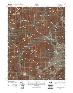
2010 Map of Old Rag Mountain
USGS Topo · Published 2010About this map
Oldrag and its historical Oldrag Post Office sit at the heart of this mountain landscape, which is defined by the steep elevation changes of the Blue Ridge. The geography is a complex network of hollows and runs, where local life centered around water sources like the Hughes River and the Robinson River. In the eastern portion of the quadrangle, the settlement of Etlan provides a concentrated area of activity with the Etlan Cemetery.
Find a feature on this map
66 named features on this map. Tap any name to fly to it.
Don’t see what you’re looking for? This feature index may not catch every label — zoom into the map to look around manually.
Map Details
Editions of this 2010 Old Rag Mountain Map
This is the sole edition of this map. No revisions or reprints were ever made.
Other maps of this area

1892 · Gordonsville
USGS Topo · 1:125,000

1893 · Luray
USGS Topo · 1:125,000

1905 · Luray
USGS Topo · 1:125,000

1929 · Stony Man
USGS Topo · 1:48,000

1930 · Madison
USGS Topo · 1:48,000

1933 · Stony Man
USGS Topo · 1:62,500

1933 · Madison
USGS Topo · 1:62,500

1949 · Charlottesville
USGS Topo · 1:250,000

1956 · Charlottesville
USGS Topo · 1:250,000

1961 · Sperryville
USGS Topo · 1:62,500