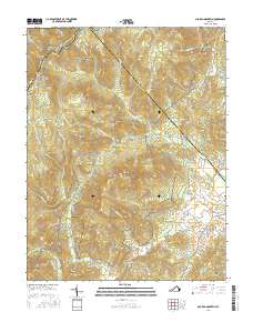
2016 Map of Old Rag Mountain
USGS Topo · Published 2016About this map
Shenandoah National Park dominates this portion of the Blue Ridge, where steep hollows and high summits define the border between Madison, Page, and Rappahannock counties. The landscape is characterized by prominent peaks such as Old Rag Mtn, Stony Man, and Thorofare Mtn, which tower over deep drainages like Nicholson Hollow and Corbin Hollow. The Appalachian National Scenic Trail winds along the western ridges near Little Stony Man, while old routes like Old Rag Rd and Weakley Hollow Rd provide access to the interior.
Find a feature on this map
81 named features on this map. Tap any name to fly to it.
Don’t see what you’re looking for? This feature index may not catch every label — zoom into the map to look around manually.
Map Details
Editions of this 2016 Old Rag Mountain Map
This is the sole edition of this map. No revisions or reprints were ever made.
Other maps of this area

1892 · Gordonsville
USGS Topo · 1:125,000

1893 · Luray
USGS Topo · 1:125,000

1905 · Luray
USGS Topo · 1:125,000

1929 · Stony Man
USGS Topo · 1:48,000

1930 · Madison
USGS Topo · 1:48,000

1933 · Stony Man
USGS Topo · 1:62,500

1933 · Madison
USGS Topo · 1:62,500

1949 · Charlottesville
USGS Topo · 1:250,000

1956 · Charlottesville
USGS Topo · 1:250,000

1961 · Sperryville
USGS Topo · 1:62,500