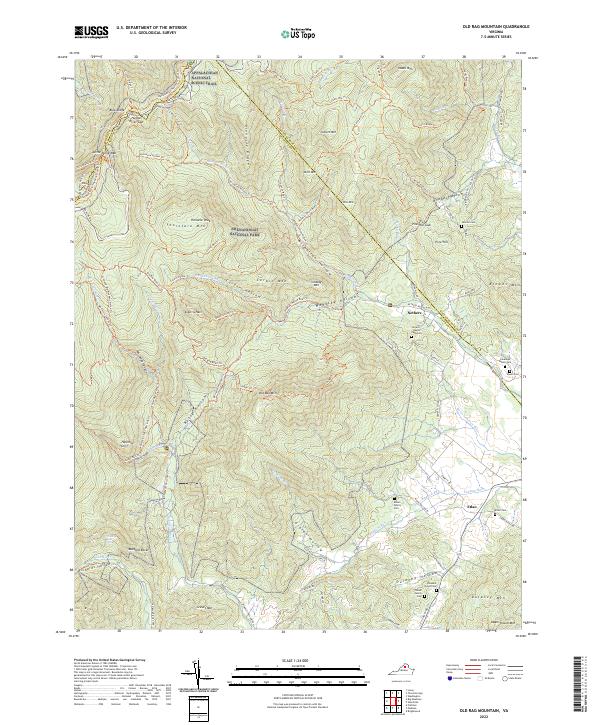
2022 Map of Old Rag Mountain
USGS Topo · Published 2022About this map
Old Rag Mountain and the deep relief of the Blue Ridge dominate this modern survey of the Virginia highlands, where high-elevation wilderness meets the established farming valleys of Etlan and Nethers. Within the boundaries of Shenandoah National Park, the landscape is defined by a dense network of footpaths including the Appalachian National Scenic Trail and the iconic Skyline Drive. The map documents the topographical transition from the granite summits of Thorofare Mountain and Robertson Mountain down into the narrow hollows where the Hughes River and Robinson River originate.
Find a feature on this map
107 named features on this map. Tap any name to fly to it.
Don’t see what you’re looking for? This feature index may not catch every label — zoom into the map to look around manually.
Map Details
Editions of this 2022 Old Rag Mountain Map
This is the sole edition of this map. No revisions or reprints were ever made.
Other maps of this area

1892 · Gordonsville
USGS Topo · 1:125,000

1893 · Luray
USGS Topo · 1:125,000

1905 · Luray
USGS Topo · 1:125,000

1929 · Stony Man
USGS Topo · 1:48,000

1930 · Madison
USGS Topo · 1:48,000

1933 · Stony Man
USGS Topo · 1:62,500

1933 · Madison
USGS Topo · 1:62,500

1949 · Charlottesville
USGS Topo · 1:250,000

1956 · Charlottesville
USGS Topo · 1:250,000

1961 · Sperryville
USGS Topo · 1:62,500