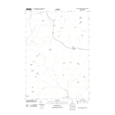
2011 Map of Old Speck Mountain
USGS Topo · Published 2011About this map
Grafton Notch serves as the focal point for this high-altitude landscape in the Mahoosuc Range, where the Bear River carves through deep geological formations. The terrain is defined by extreme relief, from the summit of Old Speck Mountain down to the dramatic Mother Walker Falls Gorge and Screw Auger Falls Gorge. For hikers and local historians, the alignment of the Appalachian Trl and the Mahoosuc Trl reveals the established corridor for foot travel through this part of Oxford County. Human presence is sparse, centered on the small settlement of Ketchum in the south and the isolated Camp 3 near Silver Stream. Numerous peaks like Goose Eye Mountain and Sunday River Whitecap surround the watershed of the Bull Branch and Sunday River, illustrating a region dominated by conservation and recreation rather than industrial development.
Find a feature on this map
59 named features on this map. Tap any name to fly to it.
Don’t see what you’re looking for? This feature index may not catch every label — zoom into the map to look around manually.
Map Details
Editions of this 2011 Old Speck Mountain Map
This is the sole edition of this map. No revisions or reprints were ever made.
Other maps of this area

1893 · Gorham
USGS Topo · 1:62,500

1896 · Gorham
USGS Topo · 1:62,500

1914 · Bethel
USGS Topo · 1:62,500

1930 · Milan
USGS Topo · 1:62,500

1933 · Milan
USGS Topo · 1:62,500

1934 · Milan
USGS Topo · 1:62,500

1937 · Gorham
USGS Topo · 1:48,000

1940 · Bethel
USGS Topo · 1:62,500

1941 · Bethel
USGS Topo · 1:62,500

1942 · Gorham
USGS Topo · 1:62,500
Featured Places
- Newry, ME
- Ketchum, Riley Township
- Grafton Township, ME
- Andover West Surplus Township, ME
- Riley Township, ME