
1945 Map of Old Speck Mtn
USGS Topo · Published 1945About this map
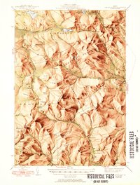
The Mahoosuc Range dominates the terrain of this 1940s survey, defined by the winding path of the Appalachian Trail as it traverses the peaks of Old Speck Mtn and Baldpate Mtn. The landscape is a complex series of townships and surpluses, including Grafton, Andover West Surplus, and C Surplus. These administrative divisions reflect the historic timber and land management patterns of the Maine woods during the mid-20th century. Settlement is concentrated in the southern valleys, where the Ellis River and Sunday River provide corridors for movement. Evidence of local community life appears at the North Newry P O and the small settlement at Ketchum. Natural landmarks such as The Cataracts and Grafton Notch highlight the dramatic geological transitions of the Oxford County backcountry, while the presence of a Fire Tower atop Old Speck underscores the era's focus on forest fire prevention and observation.
Find a feature on this map
111 named features on this map. Tap any name to fly to it.
Don’t see what you’re looking for? This feature index may not catch every label — zoom into the map to look around manually.
Map Details
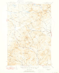
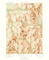
Editions of this 1945 Old Speck Mtn Map
4 editions found
Other maps of this area

1893 · Gorham
USGS Topo · 1:62,500

1896 · Gorham
USGS Topo · 1:62,500

1911 · Bryant Pond
USGS Topo · 1:62,500

1914 · Bethel
USGS Topo · 1:62,500

1914 · Bryant Pond
USGS Topo · 1:62,500

1927 · Rumford
USGS Topo · 1:48,000

1930 · Rumford
USGS Topo · 1:62,500

1930 · Milan
USGS Topo · 1:62,500

1930 · Errol
USGS Topo · 1:62,500

1933 · Rangeley
USGS Topo · 1:48,000